Near St. Peter in Nicollet County, Minnesota — The American Midwest (Upper Plains)
A River Crossroad
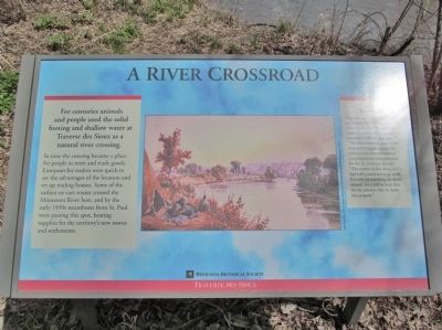
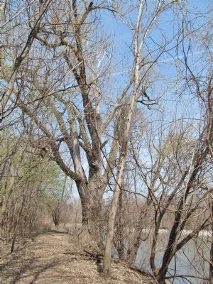
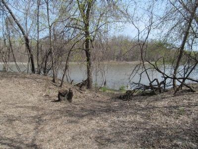
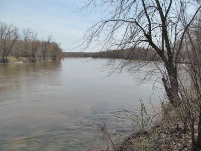
For centuries animals and people used the solid footing and shallow water at Traverse des Sioux as a natural river crossing.
In time the crossing became a place for people to meet and trade goods. European fur traders were quick to see the advantages of the location and set up trading houses. Some of the earliest ox-cart routes crossed the Minnesota River here, and by the early 1850s steamboats from St. Paul were passing this spot, bearing supplies for the territory's new towns and settlements.
Slow Going!
Today we can drive from St. Paul to Traverse des Sioux in under 90 minutes. In 1854 the same trip, made by steamboat, was a tedious two-and-a-half day journey. "The unexhilarating pace of the boat as it struggles against the current curbs our enthusiasm," complained one correspondent for the St. Anthony Express. "The steamer pokes along as if it had half a mind not to go at all. It is only by watching the shore intently for a half an hour that we can perceive that we make any progress."
Traverse des Sioux
Erected by the Minnesota Historical Society.
Topics and series. This historical marker is listed in these topic lists: Industry & Commerce • Roads & Vehicles • Settlements & Settlers • Waterways & Vessels. In addition, it is included in the Minnesota Historical Society series list. A significant historical year for this entry is 1854.
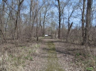
Location. 44° 21.391′ N, 93° 57.252′ W. Marker is near St. Peter, Minnesota, in Nicollet County. Marker can be reached from the intersection of North Minnesota Avenue (U.S. 169) and Dodd Avenue (State Highway 22), on the right when traveling north. Marker is at the end of an interpretive trail that is adjacent to the Nicollet County Historical Society Treaty Site History Center. Touch for map. Marker is at or near this postal address: 1851 North Minnesota Avenue, Saint Peter MN 56082, United States of America. Touch for directions.
Other nearby markers. At least 8 other markers are within walking distance of this marker. Treaty of Traverse des Sioux Site (approx. 0.2 miles away); The Treaty of Traverse des Sioux (approx. 0.2 miles away); Exploring the River Valley (approx. 0.2 miles away); The Old French Cemetery (approx. 0.2 miles away); Fur Trader Louis Provencalle (approx. 0.3 miles away); The Rush for Land (approx. 0.4 miles away); Treaty of Traverse Des Sioux (approx. 0.4 miles away); Ministering to the Dakota (approx. 0.4 miles away). Touch for a list and map of all markers in St. Peter.
More about this marker. The Dakota Indians called this place Oiyuwege, meaning "the place of crossing." French explorers called it Traverse des Sioux, or "crossing place of the Sioux."
caption: Seth Eastman, The St. Peter's River near its Confluence with the Mississippi, 1848
Also see . . . Traverse des Sioux. History. Minnesota Historical Society website entry:
"For thousands of years, Traverse des Sioux was a crossroads and meeting place ... Traverse des Sioux soon grew up around the site with more than 70 buildings, including five taverns, two hotels and several churches. In 1856, however, nearby St. Peter was chosen as the county seat and by the late 1860s, nothing was left of the once-booming town of Traverse des Sioux." (Submitted on May 24, 2014.)
Credits. This page was last revised on June 20, 2023. It was originally submitted on May 24, 2014, by Keith L of Wisconsin Rapids, Wisconsin. This page has been viewed 525 times since then and 21 times this year. Photos: 1, 2, 3, 4, 5. submitted on May 24, 2014, by Keith L of Wisconsin Rapids, Wisconsin.
