Near Seymour in Jackson County, Indiana — The American Midwest (Great Lakes)
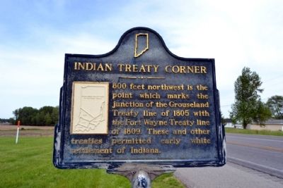
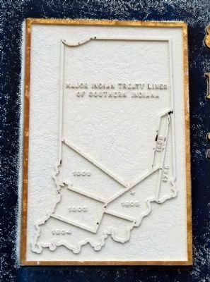
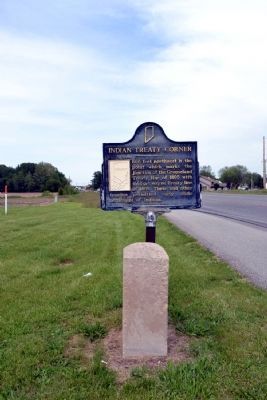
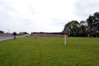
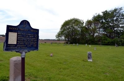
Indian Treaty Corner
Erected 1966 by Indiana Sesquicentennial Commission. (Marker Number 36.1966.1.)
Topics and series. This historical marker is listed in these topic lists: Native Americans • Settlements & Settlers • Wars, US Indian. In addition, it is included in the Indiana Historical Bureau Markers series list. A significant historical year for this entry is 1805.
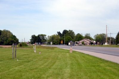
Location. 38° 56.306′ N, 85° 55.855′ W. Marker is near Seymour, Indiana, in Jackson County. Marker is on U.S. 50 west of Schleter Road (County Road E410N), on the right when traveling west. Marker is located at the front of Crane Cemetery. Touch for map. Marker is in this post office area: Seymour IN 47274, United States of America. Touch for directions.
Other nearby markers. At least 8 other markers are within 8 miles of this marker, measured as the crow flies. 10 O'Clock Indian Treaty Line (here, next to this marker); Freeman Field (approx. 1˝ miles away); B-25 Mitchell (approx. 1˝ miles away); a different marker also named Freeman Field (approx. 2.2 miles away); Alexander McClure (approx. 2.8 miles away); The Reno Gang (approx. 2.9 miles away); Shieldstown Bridge (approx. 4.2 miles away); Sons Of The American Revolution Memorial (approx. 7.2 miles away). Touch for a list and map of all markers in Seymour.
Also see . . .
1. Treaty of Fort Wayne (1809) - Wikipedia entry. The Treaty of Fort Wayne is also known as the 10 O’Clock Line Treaty. (Submitted on May 28, 2014.)
2. Treaty of Grouseland - Wikipedia entry. (Submitted on May 28, 2014.)
Credits. This page was last revised on June 16, 2016. It was originally submitted on May 28, 2014, by Duane Hall of Abilene, Texas. This page has been viewed 783 times since then and 37 times this year. Photos: 1, 2, 3, 4, 5, 6. submitted on May 28, 2014, by Duane Hall of Abilene, Texas.
