Near Collinsville in Madison County, Illinois — The American Midwest (Great Lakes)
Cahokia
City of the Sun
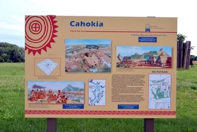
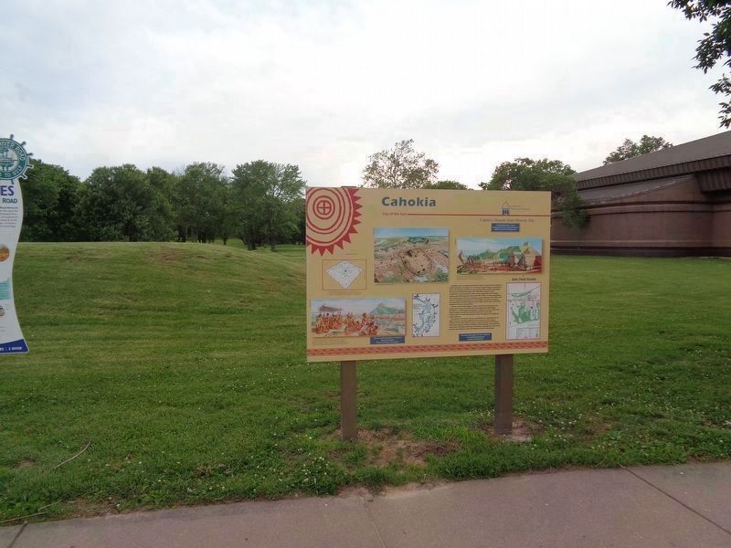
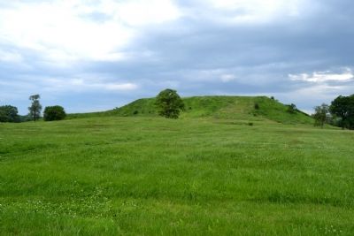
Cahokia was the largest prehistoric Indian community in America north of Mexico. It covered an area of six square-miles, including at least 120 mounds of different size and function. Initial occupation during Late Woodland times (AD 700-800) included small settlements along Cahokia Creek. These expanded and merged during early Mississippian times (AD 800-1000) and the population and community increased, reaching a peak between AD 1050-1150 with an estimated population of 10-20,000. A period of change and population decline began in the 1200s and by AD 1350-1400, Cahokia had been abandoned.
Indians of the Mississippian culture built this community and many other large and small ones throughout the Mississippi floodplain and the adjacent uplands. Cahokia was the center of a large complex chiefdom that had ceremonial and trade connections to other Mississippian sites throughout the Midwest and Southeast.
The decline of Cahokia may be attributed to a combination of many factors, including depletion of resources in the region; internal social and political unrest; external friction and conflicts with other groups; climatic changes affecting crops and local flora and fauna; soil exhaustion due to intensive agriculture; and loss of control and influence over contemporary sites and groups.
[Captions:]
The location and distribution of mounds at Cahokia form a rough diamond with Monks Mound at its center. Canteen Creek, right, joins Cahokia Creek, which flows into the Mississippi River.
Long distance trade brought many exotic materials to Cahokia’s markets, including Gulf Coast and Atlantic sea shells; copper from around Lake Superior; mica from the southern Appalachians; and chert (flint), salt, minerals and other goods from throughout the Midwest.
Central Cahokia about A.D. 1150-1200
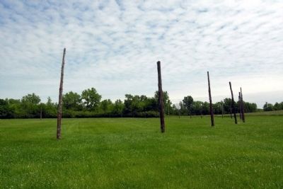
Families lived in pole-and-thatch houses around the 120 mounds of this ancient city. Ceremonial buildings and the homes of the elite stood on top of the many platform mounds.
Erected by Cahokia Mounds State Historic Site.
Topics and series. This historical marker is listed in these topic lists: Man-Made Features • Native Americans • Settlements & Settlers. In addition, it is included in the UNESCO World Heritage Sites series list.
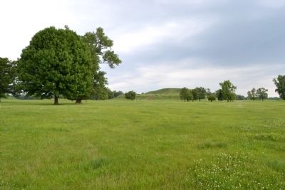
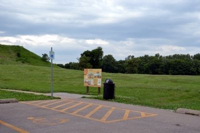
Location. 38° 39.609′ N, 90° 3.547′ W. Marker is near Collinsville, Illinois, in Madison County. Marker can be reached from Collins Lane, 0.1 miles north of Collinsville Road. Collins Lane ends in a parking lot for the trail to Monks Mound; marker is located at the northwest corner of the parking lot. Touch for map. Marker is at or near this postal address: 9 Collins Ln, Collinsville IL 62234, United States of America. Touch for directions.
Other nearby markers. At least 8 other markers are within walking distance of this marker. Stockade (within shouting distance of this marker); The Stockade Path (within shouting distance of this marker); Mound 51 (about 700 feet away, measured in a direct line); Monks Mound (about 700 feet away); Monks Mound - Southwest Corner (about 700 feet away); Monks Mound - 4th Terrace (approx. 0.2 miles away); Mound 50 (approx. 0.2 miles away); Monks Mound - South Ramp (approx. 0.2 miles away). Touch for a list and map of all markers in Collinsville.
More about this marker. A duplicate marker is located near the Cahokia Mounds' Interpretative Center.
Also see . . . Cahokia Mounds State Historic Site. Enjoy Illinois website entry (Submitted on March 21, 2022, by Larry Gertner of New York, New York.)
Credits. This page was last revised on April 2, 2023. It was originally submitted on June 28, 2014, by Duane Hall of Abilene, Texas. This page has been viewed 705 times since then and 35 times this year. Last updated on June 9, 2020, by Jason Voigt of Glen Carbon, Illinois. Photos: 1. submitted on June 28, 2014, by Duane Hall of Abilene, Texas. 2. submitted on June 9, 2020, by Jason Voigt of Glen Carbon, Illinois. 3, 4. submitted on June 28, 2014, by Duane Hall of Abilene, Texas. 5. submitted on December 27, 2012, by Duane Hall of Abilene, Texas. 6. submitted on June 28, 2014, by Duane Hall of Abilene, Texas. • Devry Becker Jones was the editor who published this page.
