Fredericksburg in Spotsylvania County, Virginia — The American South (Mid-Atlantic)
First Day at Chancellorsville
A Dangerous Field Hospital
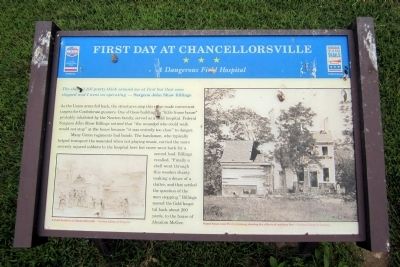
The shell(s) fell pretty thick around me at first but that soon stopped and I went on operating." — Surgeon John Shaw Billings
As the Union army fell back, the structures atop this ridge made convenient targets for Confederate gunners. One of these buildings, a “little frame house” probably inhabited by the Newton family, served as a field hospital. Federal Surgeon John Shaw Billings noticed that “the wounded who could walk would not stop” at the house because “it was entirely too close” to danger.
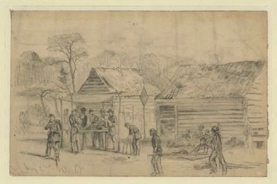
Many Union regiments had bands. The bandsmen, who typically helped transport the wounded when not playing music, carried the more severely injured soldiers to the hospital here but never went back for a second load. Billings recalled, “Finally a shell went through this wooden shanty making a deuce of a clatter, and that settled the question of the men stopping.” Billings moved the field hospital back about 200 yards, to the house of Absalom McGee.
(captions)
(lower left) A field hospital at Chancellorsville — Courtesy Library of Congress
(upper right) Frame house near Fredericksburg showing the effects of artillery fire. — Courtesy Library of Congress
Erected by Virginia Civil War Trails, Civil War Trust.
Topics and series. This historical marker is listed in these topic lists: Science & Medicine • War, US Civil. In addition, it is included in the Virginia Civil War Trails series list.
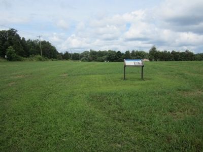
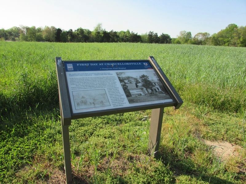
Location. 38° 18.043′ N, 77° 36.723′ W. Marker is in Fredericksburg, Virginia, in Spotsylvania County. Marker can be reached from Plank Road (Virginia Route 3) 0.8 miles west of Corter Avenue, on the right when traveling west. Located along the Lick Run Battlefield trail. Touch for map. Marker is at or near this postal address: 6161 Plank Road, Fredericksburg VA 22407, United States of America. Touch for directions.
Other nearby markers. At least 8 other markers are within walking distance of this marker. A different marker also named First Day at Chancellorsville (about 300 feet away, measured in a direct line); a different marker also named First Day at Chancellorsville (about 500 feet away); Chancellorsville Campaign (about 700 feet away); a different marker also named First Day at Chancellorsville (approx. ¼ mile away); a different marker also named First Day at Chancellorsville (approx. 0.4 miles away); McLaws Trail (approx. 0.4 miles away); a different marker also named First Day at Chancellorsville
(approx. 0.6 miles away); Wounding of Jackson (approx. 0.6 miles away). Touch for a list and map of all markers in Fredericksburg.
Also see . . . Chancellorsville. American Battlefield Trust (Submitted on August 4, 2014.)
Credits. This page was last revised on April 24, 2023. It was originally submitted on August 4, 2014, by Bernard Fisher of Richmond, Virginia. This page has been viewed 516 times since then and 8 times this year. Photos: 1, 2, 3. submitted on August 4, 2014, by Bernard Fisher of Richmond, Virginia. 4. submitted on April 22, 2023, by Bill Coughlin of Woodland Park, New Jersey.


