Huntington in Huntington County, Indiana — The American Midwest (Great Lakes)
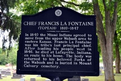
Chief Francis La Fontaine
(Topeah) 1810-1847
Topics and series. This historical marker is listed in these topic lists: Cemeteries & Burial Sites • Native Americans. In addition, it is included in the The Spirit of ’76, America’s Bicentennial Celebration series list. A significant historical year for this entry is 1840.
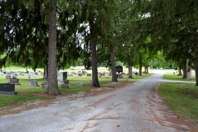
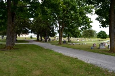
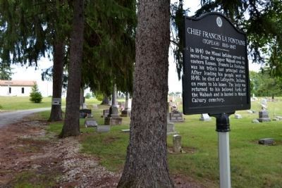
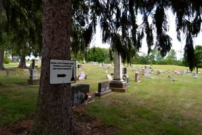
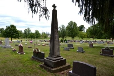
Location. 40° 54.34′ N, 85° 31.005′ W. Marker is in Huntington, Indiana, in Huntington County. Marker can be reached from the intersection of County Road W 500N and State Road 5. Marker is located along the main driveway in Mount Calvary Cemetery; the above directions are to the main driveway entrance to the cemetery. Touch for map. Marker is in this post office area: Huntington IN 46750, United States of America. Touch for directions.
Other nearby markers. At least 8 other markers are within 2 miles of this marker, measured as the crow flies. Fred A. Loew (approx. 1.2 miles away); a different marker also named Fred A. Loew (approx. 1.3 miles away); Huntington County Civil War Memorial (approx. 1.7 miles away); Huntington High School / General James R. Slack 1818 - 1881 (approx. 1.8 miles away); Old Plat Historic District (approx. 1.8 miles away); Rock House (approx. 1.9 miles away); Burk's Lock (approx. 1.9 miles away); Canal Landing on Washington Street / Jefferson Park Mall (approx. 1.9 miles away). Touch for a list and map of all markers in Huntington.
More about this marker. The marker was previously located on State Route 5 next to the cemetery.
Also see . . .
1. Francis La Fontaine - Wikipedia entry. (Submitted on August 22, 2014.)
2. Chief Francis Topeah Lafontaine Burial Record. From the findagrave.com website. (Submitted on August 22, 2014.)
Credits. This page was last revised on June 16, 2016. It was originally submitted on August 22, 2014, by Duane Hall of Abilene, Texas. This page has been viewed 592 times since then and 27 times this year. Photos: 1, 2, 3, 4, 5, 6. submitted on August 22, 2014, by Duane Hall of Abilene, Texas.
