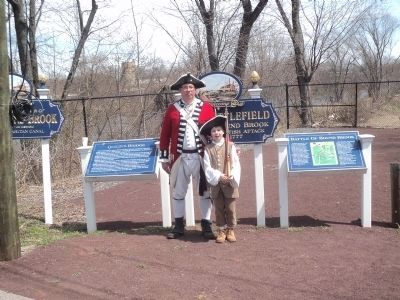
South Bound Brook in Somerset County, New Jersey — The American Northeast (Mid-Atlantic)
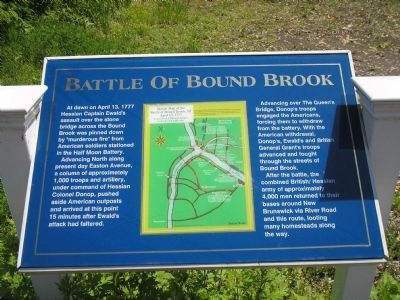
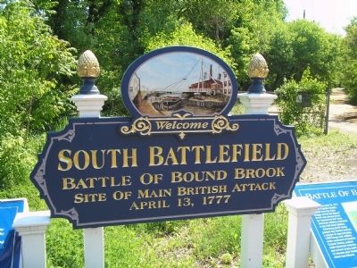
Battle of Bound Brook
Advancing North along present day Easton Avenue, a column of approximately 1,000 troops and artillery, under command of Hessian Colonel Donop, pushed aside American outposts and arrived at this point 15 minutes after Ewald’s attack had faltered.
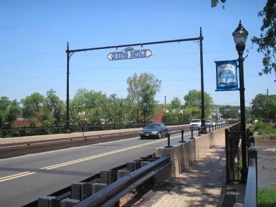
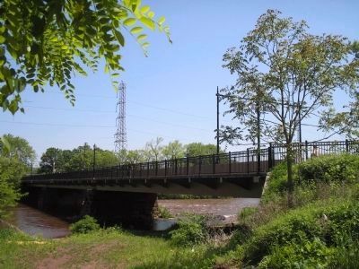
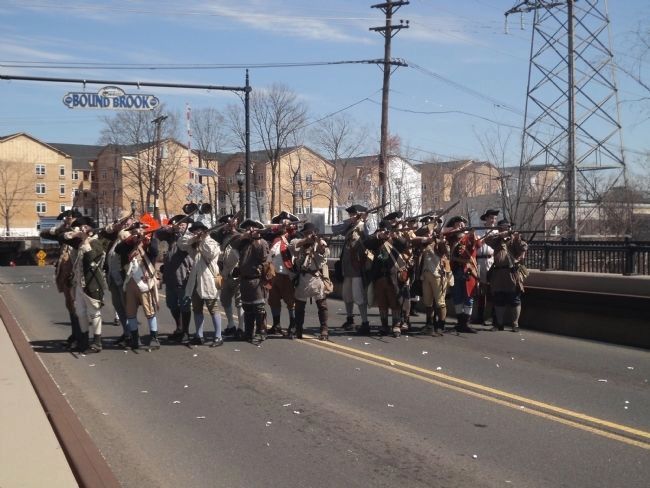
Advancing over the Queen’s Bridge, Donop’s troops engaged the Americans, forcing them to withdraw from the battery. With the American withdrawal, Donop’s, Ewald’s and British General Grant’s troops advanced and fought through the streets of Bound Brook.
After the battle, the combined British/Hessian army of approximately 4,000 men returned to their bases around New Brunswick via River Road and this route, looting many homesteads along the way.
Topics. This historical marker is listed in these topic lists: Military • Notable Events • War, US Revolutionary. A significant historical month for this entry is April 1740.
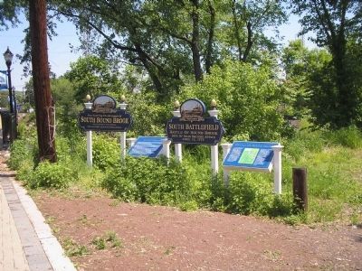
Location. 40° 33.54′ N, 74° 31.676′ W. Marker is in South Bound Brook, New Jersey, in Somerset County. Marker is on Main Street, on the right when traveling north. Marker is on the South Bound Brook side of the Queen’s Bridge. Touch for map. Marker is in this post office area: South Bound Brook NJ 08880, United States of America. Touch for directions.
Other nearby markers. At least 8 other markers are within walking distance of this marker. Queen’s Bridge (here, next to this marker); Old Stone Bridge (about 600 feet away, measured in a direct line); a different marker also named Battle of Bound Brook (about 600 feet away); Delaware & Raritan Canal State Park (about 800 feet away); Locks on the D&R Canal (about 800 feet away); Van Horn Plaza (approx. 0.2 miles away); The Frelinghuysen Tavern (approx. ¼ mile away); Bound Brook World War I Memorial (approx. 0.3 miles away). Touch for a list and map of all markers in South Bound Brook.
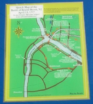
More about this marker. The center of the marker contains a “Sketch Map of the Battle of Bound Brook, NJ April 13, 1777 As per Ewald (Hessian Jaeger) with selected additions.” It has a caption of “An account of the battle and a map that this illustration is based upon was originally created by Captain Von Ewald, a Hessian Jaeger. The account of the battle was written in his diary. Hessian soldiers were mercenaries hired by the British.”
Also see . . . The Battle of Bound Brook. (Submitted on May 19, 2008, by Bill Coughlin of Woodland Park, New Jersey.)
Credits. This page was last revised on June 16, 2016. It was originally submitted on May 19, 2008, by Bill Coughlin of Woodland Park, New Jersey. This page has been viewed 3,966 times since then and 83 times this year. It was the Marker of the Week April 13, 2014. Photos: 1, 2, 3, 4, 5, 6. submitted on May 19, 2008, by Bill Coughlin of Woodland Park, New Jersey. 7. submitted on April 12, 2014, by Bill Coughlin of Woodland Park, New Jersey. 8. submitted on May 19, 2008, by Bill Coughlin of Woodland Park, New Jersey. 9. submitted on April 12, 2014, by Bill Coughlin of Woodland Park, New Jersey.
