Near Cleveland in Bradley County, Tennessee — The American South (East South Central)
Cooper Cemetery
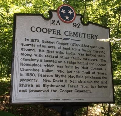
In 1873, Bennet Cooper (1797-1886) gave one-quarter of an acre of land for a family burying ground. His first wife, Lydia, was buried there along with several other family members. The cemetery is located on a ridge behind the Cooper Homeplace which was built by Hair Conrad, a Cherokee Indian, who led the Trail of Tears. In 1930, Pearson Blythe Mayfield purchased the property. Mrs. David H. Neil obtained the land known as Blythewood Farms from her father and preserved Cooper Cemetery.
Erected by Tennessee Historical Commission. (Marker Number 2A 92.)
Topics and series. This historical marker is listed in these topic lists: Cemeteries & Burial Sites • Native Americans. In addition, it is included in the Tennessee Historical Commission, and the Trail of Tears series lists. A significant historical year for this entry is 1873.
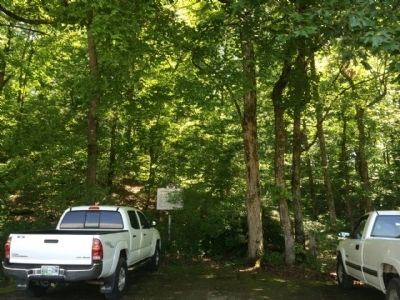
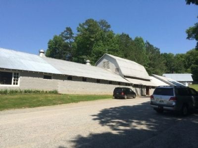
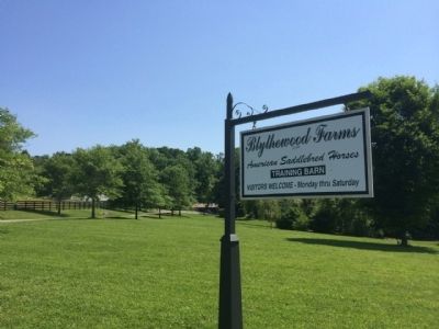
Location. 35° 9.765′ N, 84° 54.559′ W. Marker is near Cleveland, Tennessee, in Bradley County. Marker can be reached from the intersection of Blythewood Road Southwest and Harris Creek Road Southwest, on the right when traveling north. Marker is located on private property. The entrance sign indicates visitors are welcome Monday thru Saturday. Marker is located down the driveway nearest the Blythewood Farms sign. It is near the trees nearly straight ahead at the end of the entrance driveway. Touch for map. Marker is at or near this postal address: 433 Blythewood Road Southwest, Cleveland TN 37311, United States of America. Touch for directions.
Other nearby markers. At least 8 other markers are within 2 miles of this marker, measured as the crow flies. Fort Hill Cemetery (approx. 1.6 miles away); Union Monument (approx. 1.7 miles away); Oak Grove Male Academy (approx. 1.8 miles away); Fillauer Brothers Building (approx. 1.9 miles away); Methodist Episcopal Church, South (approx. 1.9 miles away); Bradley County World War II Memorial (approx. 1.9 miles away); Bradley County World War I Memorial (approx. 1.9 miles away); Bradley County Courthouse Meleeny Bell (approx. 1.9 miles away). Touch for a list and map of all markers in Cleveland.
Also see . . . Blythewood Farms website. (Submitted on May 23, 2014, by Mark Hilton of Montgomery, Alabama.)
Credits. This page was last revised on July 6, 2022. It was originally submitted on May 23, 2014, by Mark Hilton of Montgomery, Alabama. This page has been viewed 901 times since then and 30 times this year. Last updated on March 12, 2015, by J. Makali Bruton of Accra, Ghana. Photos: 1, 2, 3, 4. submitted on May 23, 2014, by Mark Hilton of Montgomery, Alabama.


