Near North East in Cecil County, Maryland — The American Northeast (Mid-Atlantic)
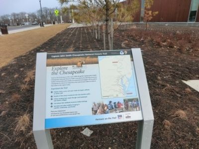
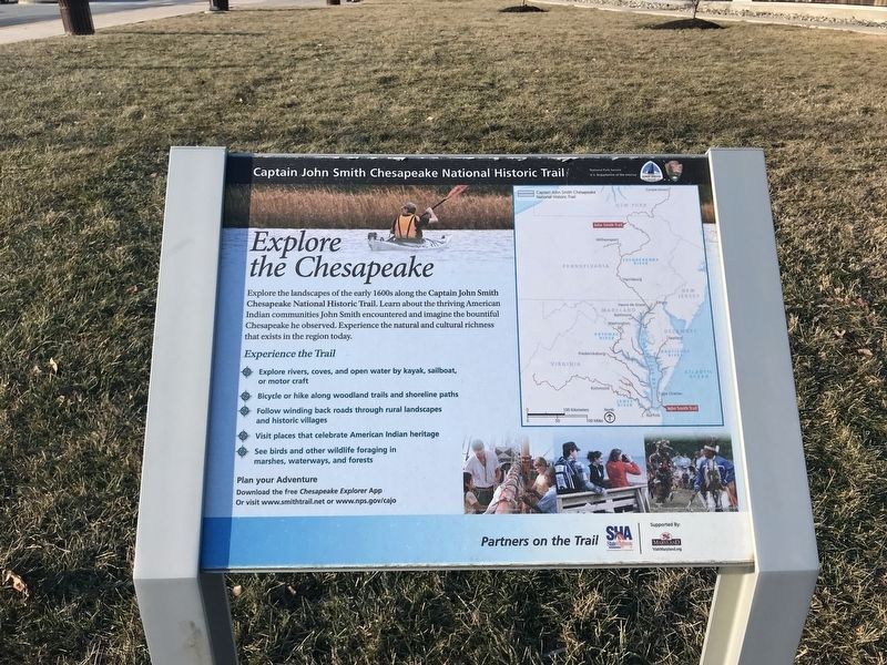
Explore the Chesapeake
Captain John Smith Chesapeake National Historic Trail
Experience the Trail
*Explore rivers, coves, and open water by kayak, sailboat, or motor craft
*Bicycle or hike along woodland trails and shoreline paths
*Follow winding back roads through rural landscapes and historic villages
*Visit places that celebrate American Indian heritage
*See birds and other wildlife foraging in marshes, waterways, and forests
Plan your Adventure
Download the free Chesapeake Explorer App or visit www.smithtrail.net or www.nps.gov/cajo
Erected by National Park Service-United States Department of the Interior.
Topics and series. This historical marker is listed in these topic lists: Colonial Era • Exploration • Waterways & Vessels. In addition, it is included in the Captain John Smith Chesapeake National Historic Trail series list.
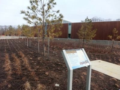
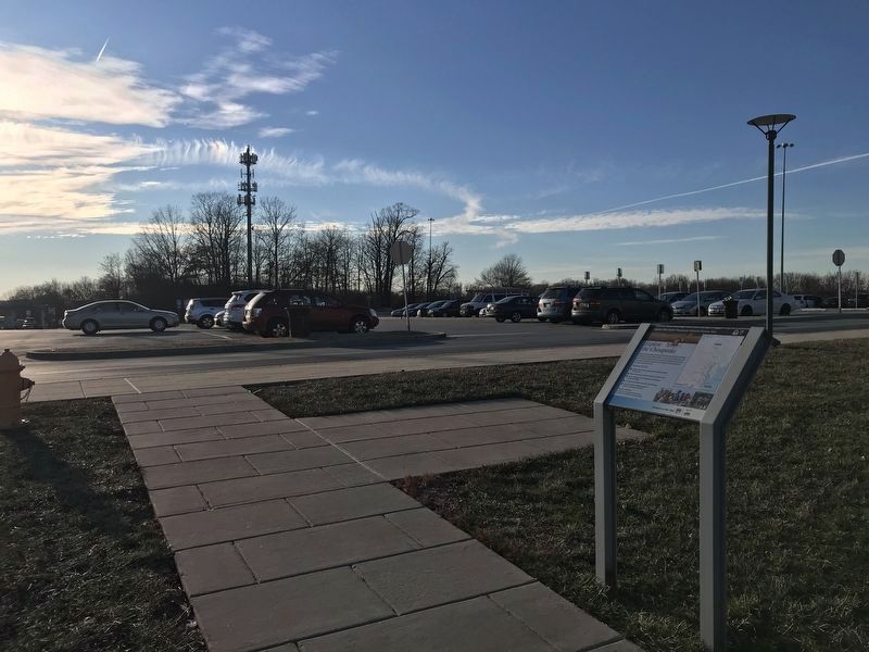
Location. 39° 36.68′ N, 76° 0.518′ W. Marker is near North East , Maryland, in Cecil County. Marker is on Interstate 95. The marker is located at the I-95 rest stop-Chesapeake House (which is in the median strip), toward the I-95 northbound lanes. Touch for map. Marker is in this post office area: North East MD 21901, United States of America. Touch for directions.
Other nearby markers. At least 8 other markers are within 3 miles of this marker, measured as the crow flies. Maryland Women in Military Service Monument (within shouting distance of this marker); “O! say can you see…” (about 300 feet away, measured in a direct line); The Principio Company (approx. 2.7 miles away); Striking a Blow (approx. 2.7 miles away); Flight 605 (approx. 2.8 miles away); Site of Woodlawn Camp Meeting (approx. 3 miles away); The North East Nazarene Camp (approx. 3 miles away); a different marker also named The North East Nazarene Camp (approx. 3.1 miles away). Touch for a list and map of all markers in North East.
Credits. This page was last revised on June 25, 2023. It was originally submitted on March 14, 2015, by Don Morfe of Baltimore, Maryland. This page has been viewed 381 times since then and 10 times this year. Last updated on January 22, 2020, by Carl Gordon Moore Jr. of North East, Maryland. Photos: 1, 2. submitted on March 14, 2015, by Don Morfe of Baltimore, Maryland. 3, 4. submitted on January 22, 2022, by Adam Margolis of Mission Viejo, California. • Bill Pfingsten was the editor who published this page.


