Near Tishomingo in Tishomingo County, Mississippi — The American South (East South Central)
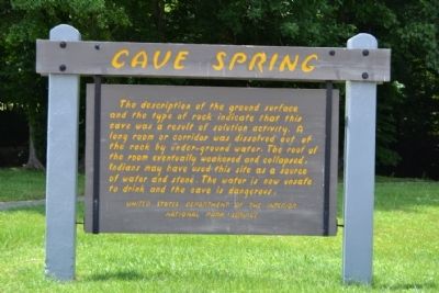
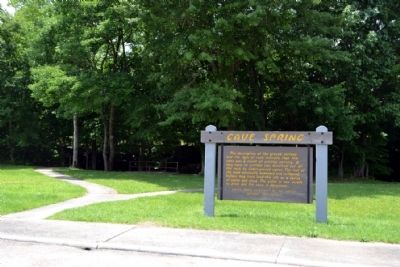
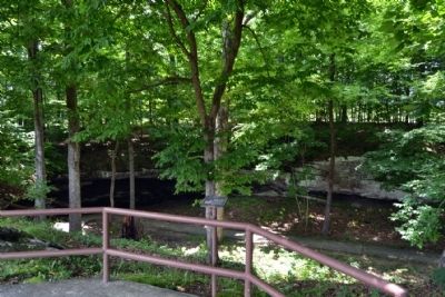
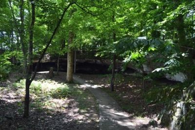
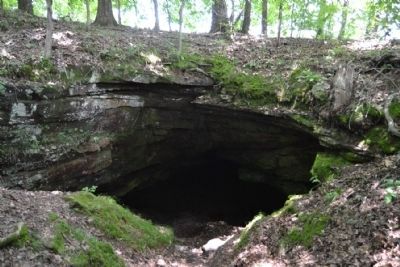
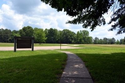
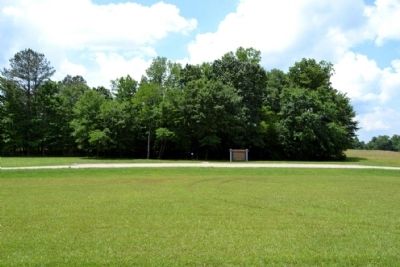
Cave Spring
Erected by National Park Service.
Topics and series. This historical marker is listed in these topic lists: Environment • Native Americans. In addition, it is included in the Natchez Trace series list.
Location. 34° 38.583′ N, 88° 8.436′ W. Marker is near Tishomingo, Mississippi, in Tishomingo County. Marker can be reached from Natchez Trace Parkway (at milepost 308.4), 0.8 miles north of Mississippi Highway 30, on the right when traveling north. Touch for map. Marker is in this post office area: Tishomingo MS 38873, United States of America. Touch for directions.
Other nearby markers. At least 8 other markers are within 11 miles of this marker, measured as the crow flies. Bear Creek Mound (approx. half a mile away); The Natchez Trace (approx. 3 miles away); a different marker also named Natchez Trace (approx. 5.2 miles away); Mac McAnally (approx. 10 miles away); Levi Colbert Stand (approx. 10˝ miles away in Alabama); Something to Chew on (approx. 10˝ miles away in Alabama); Bridging Cultures (approx. 10˝ miles away in Alabama); Barton Hall (approx. 10.8 miles away in Alabama). Touch for a list and map of all markers in Tishomingo.
Also see . . . Natchez Trace. Official National Park Service website. (Submitted on June 26, 2015.)
Photographed By Duane Hall, June 4, 2015
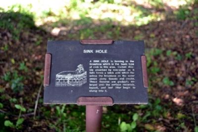
4. Sink Hole
A SINK HOLE is forming in the limestone which is the basic type of rock in this area. Carbon dioxide absorbed by rain-water as it falls forms a weak acid which dissolves the limestone as the water seeps along tissues and cracks. These fissures are gradually enlarged until the surface materials, topsoil, and leaf litter begin to slump into it.
Credits. This page was last revised on June 16, 2016. It was originally submitted on June 26, 2015, by Duane Hall of Abilene, Texas. This page has been viewed 493 times since then and 39 times this year. Photos: 1, 2, 3, 4, 5, 6, 7, 8. submitted on June 26, 2015, by Duane Hall of Abilene, Texas.
