Near Mantee in Webster County, Mississippi — The American South (East South Central)
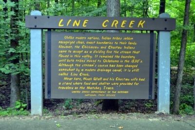
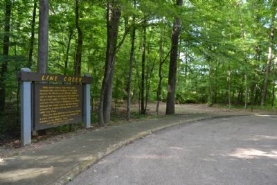
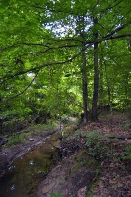
Line Creek
Near here, Noah Wall and his Choctaw wife had a stand where food and shelter were provided for travelers on the Natchez Trace.
Erected by National Park Service.
Topics and series. This historical marker is listed in these topic lists: Industry & Commerce • Native Americans • Roads & Vehicles. In addition, it is included in the Natchez Trace series list.
Location. 33° 39.197′ N, 89° 4.358′ W. Marker is near Mantee, Mississippi, in Webster County. Marker is on Natchez Trace Parkway (at milepost 213.3), one mile south of Mississippi Highway 15, on the left when traveling north. Touch for map. Marker is in this post office area: Maben MS 39750, United States of America. Touch for directions.
Other nearby markers. At least 8 other markers are within 15 miles of this marker, measured as the crow flies. Charles Lindbergh Landing Site (approx. 7.6 miles away); Old Trace (approx. 7.8 miles away); Natchez Trace at Mathiston (approx. 8˝ miles away); The Natchez Trace Parkway (approx. 8.9 miles away); Sparta Opry (approx. 9.3 miles away); Pigeon Roost (approx. 9.6 miles away); Eupora (approx. 13.7 miles away); The Old Natchez Trace (approx. 14˝ miles away).
Also see . . . Natchez Trace. Official National Park Service website. (Submitted on June 30, 2015.)
Credits. This page was last revised on June 16, 2016. It was originally submitted on June 30, 2015, by Duane Hall of Abilene, Texas. This page has been viewed 711 times since then and 48 times this year. Photos: 1, 2, 3. submitted on June 30, 2015, by Duane Hall of Abilene, Texas.


