Raymond in Hinds County, Mississippi — The American South (East South Central)
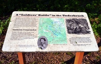
A "Soldiers' Battle" in the Underbrush
Confusion Compounded
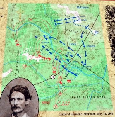
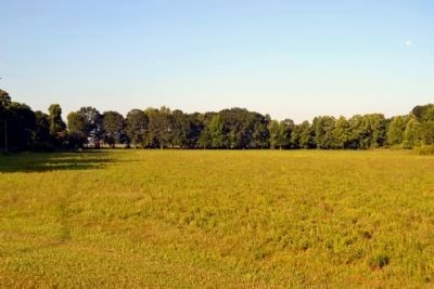
The haze in this valley on that Tuesday and the dense cover of underbrush prevented the commanders from seeing what was happening. This breakdown in communication is an example of a “soldiers’ battle” where the commanders lose control and field officers or even individual soldiers take charge of their own actions.
“When we rushed through the brook, we found the enemy upon us but we found also that the bank of the brook sloped off a bit, with a kind of beach at its further edge, which made a first rate shelter. So, we dropped on the ground right there and gave those Texans all the bullets we could cram into our Enfields until our guns were hot enough to sizzle.
“We soon found they didn’t scare worth a cent.”
Lt. Henry O. Dwight, 20th Ohio, USA
(Photo Caption)
Mississippi native Col. Hiram Granbury, CSA, lived here in Hinds County before he moved to Texas in 1850, where a town is named for him.
Topics. This historical marker is listed in this topic list: War, US Civil. A significant historical year for this entry is 1850.
Location. 32° 14.504′ N, 90° 26.782′ W. Marker is in Raymond, Mississippi, in Hinds County. Marker can be reached from Port Gibson Street, 0.1 miles north of Mississippi Highway 18, on the left when traveling north. Marker is located in the main part of the Raymond Military Park; the above directions are to the parking area for the park. Touch for map. Marker is in this post office area: Raymond MS 39154, United States of America. Touch for directions.
Other nearby markers. At least 8 other markers are within walking distance of this marker. Eyewitnesses in the Storm (about 300 feet away, measured in a direct line); McPherson's Deployment (about 500 feet away); U.S. 8th Battery, Michigan Light Artillery (about 500 feet away); DeGolyer's Battery and the Artist's Eye (about 500 feet away); King of Battle (about 700 feet away); Battle of Raymond (about 700 feet away); Texas Memorial (approx. 0.2 miles away); Gregg's Battle Plan (approx. 0.2 miles away). Touch for a list and map of all markers in Raymond.
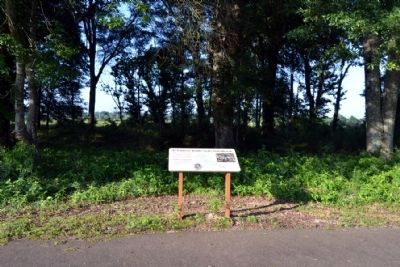
More about this marker. Marker is located along the Raymond Military Park walking trail just across Fourteen Mile Creek. It is a 1/3 mile walk from the parking
area to the marker.
Also see . . . Friends of Raymond. Official website of the Friends of Raymond with detailed information on the Battle of Raymond and the preservation of the battlefield. (Submitted on July 6, 2015.)
Credits. This page was last revised on June 16, 2016. It was originally submitted on July 6, 2015, by Duane Hall of Abilene, Texas. This page has been viewed 375 times since then and 10 times this year. Photos: 1, 2, 3, 4, 5. submitted on July 6, 2015, by Duane Hall of Abilene, Texas.


