Southwest Quadrant in Alexandria, Virginia — The American South (Mid-Atlantic)
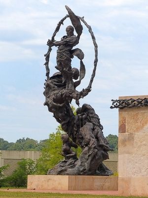
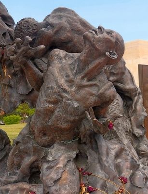
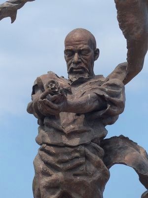
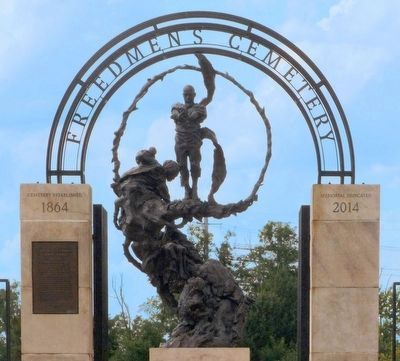
Contrabands and Freedmen Cemetery Memorial
Inscription.
Seeking freedom and a chance to begin a new life thousands of African Americans fleeing slavery flooded Civil War-era Alexandria. The city was quickly overwhelmed, and as living conditions grew dire, many perished from disease and deprivation. In 1864, the federal government established an African American burial ground here.
Within five years, the government abandoned the property. Left unprotected, and neglected by all but the families of the deceased, the cemetery endured multiple desecrations that nearly erased the memory of this site.
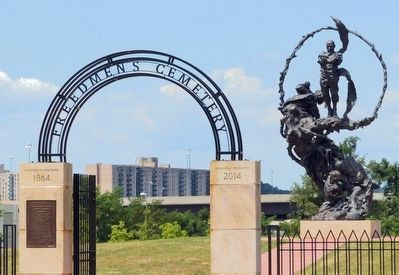
Today, through the efforts of a committed advocacy group, archaeologists, historians, descendants, and the City of Alexandria, this cemetery is reclaimed as a place of remembrance and reflection.
Buried History
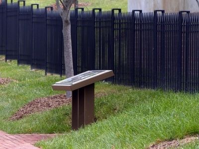
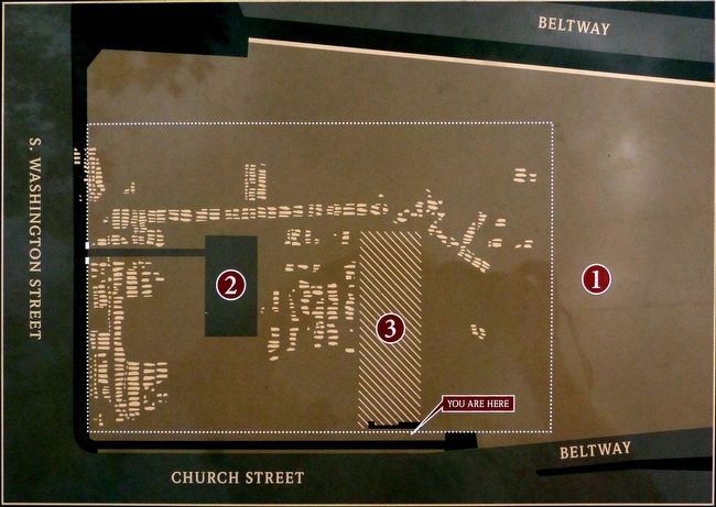
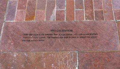
The Cemetery property changed hands many times over the years, and was rarely mapped or recorded. Left vulnerable to encroachment, parts of the cemetery were paved over by South Washington Street, and its southern edge was destroyed by the Beltway. The wall in front of you marks another such desecration — an office building constructed here in 1960 directly over the cemetery. Now underground, the building's slab was left in place to protect the graves that may remain below.
Uncovering the Story
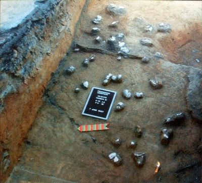
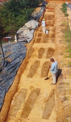
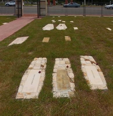
In 1967, historical research brought the cemetery's history to light. Both moved and outraged by the story of the Contrabands and Freedmen, a committed advocacy group and city officials were inspired to protect what remained of the cemetery. In 2007, the encroaching structures were dismantled, and a respectful archaeological study was completed, revealing the location of more 540 of the cemetery's graves. The graves were preserved and are now marked in the Memorial.
A Living Memorial
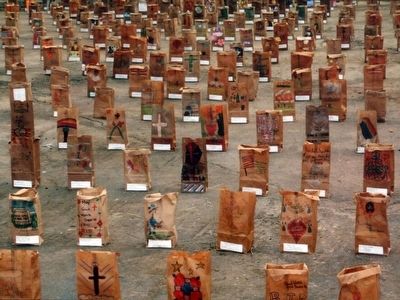
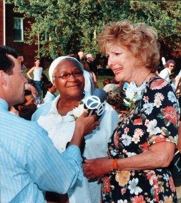
In 2013, the cemetery was re-dedicated, with a full listing of the names of the dead. While the story told here lies in the past, it also is a part of Alexandria's present and future. Through genealogical research, many descendants of the people buried here have been identified, some of whom still live nearby. These descendants, as well as all who visit the memorial seeking to understand our history, honor the memory of those buried here and sustain the connection to our past.
Topics and series. This historical marker and memorial is listed in these topic lists: African Americans • Cemeteries & Burial Sites. In addition, it is included in the Virginia, The City of Alexandria series list. A significant historical year for this entry is 1864.
Location. 38° 47.689′ N, 77° 3.013′ W. Marker is in Alexandria, Virginia. It is in the Southwest Quadrant.
Marker is at the intersection of Church Street and South Columbus Street when traveling north on Church Street. Touch for map. Marker is in this post office area: Alexandria VA 22314, United States of America. Touch for directions.
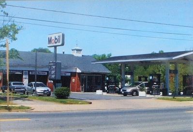
Other nearby markers. At least 8 other markers are within walking distance of this marker. Clovis Point (within shouting distance of this marker); Corner of Building Erected in 1960 (within shouting distance of this marker); a different marker also named Corner of Building Erected in 1960 (within shouting distance of this marker); Welcome to Contrabands and Freedmen Cemetery Memorial (within shouting distance of this marker); 1955 Gas Station (within shouting distance of this marker); Former USCT Burial Ground (within shouting distance of this marker); Freedmen’s Cemetery (within shouting distance of this marker); Graves Under South Washington Street (within shouting distance of this marker). Touch for a list and map of all markers in Alexandria.
Photographed By Allen C. Browne, August 1, 2015
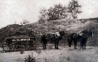
3. ❶ Brickyard
The Washington Post reported in 1892: “Of late the owners have allowed neighboring brick yards to dig clay from which the outer edges of the graveyard with which to make brick. This digging, seconded by heavy rains, has resulted in unearthing many coffins and skeletons and leaving the outer graves in very bad conditions.” Brick manufacturers like the one whose wagon is shown here most likely excavated for clay on the western edge of the cemetery.Close-up of photo on marker
Alexandria Library
Alexandria Library
Photographed By Allen C. Browne, August 1, 2015
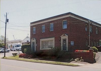
5. ❸ Office Building, 1960
The construction of an office building and its adjacent parking lot had a great impact on the cemetery. Grading removed large amounts of soil from parts of the site, leaving many graves very close to the surface. Close-up of photo on marker
Photographed By Allen C. Browne, August 1, 2015
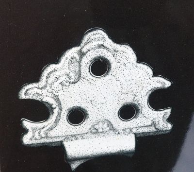
6. Coffin Hinge
Archaeological investigation led to the discovery of some artifacts associated with burials. Coffin hardware, such as this hinge, was discovered only in places where 20th-century grading had cut into the graves. In undisturbed areas, archaeologists found a few objects, like oyster shells, that could have been placed on top of a grave and may speak to African American burial practices. All artifacts associated with the graves were left in place and now protected. Close-up of photo on marker
Photographed By Allen C. Browne, August 1, 2015
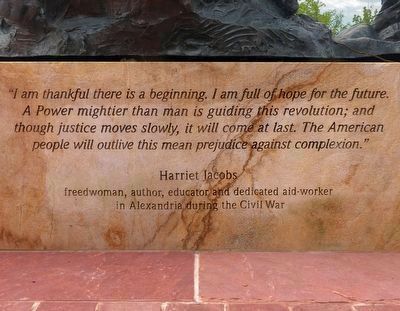
14. I am thankful...
“I am thankful there is a beginning. I am full of hope for the future. A Power mightier than man is guiding this revolution; and though justice moves slowly,it will come at last. The American people will outlive this mean prejudice against complexion.” — Harriet Jacobs, freedwoman, author, educator and dedicated aid-worker in Alexandria during the Civil War.
Credits. This page was last revised on January 27, 2023. It was originally submitted on August 3, 2015, by Allen C. Browne of Silver Spring, Maryland. This page has been viewed 683 times since then and 23 times this year. Photos: 1, 2, 3, 4, 5, 6, 7, 8, 9, 10, 11, 12, 13, 14, 15, 16, 17, 18, 19, 20, 21. submitted on August 3, 2015, by Allen C. Browne of Silver Spring, Maryland. • Bill Pfingsten was the editor who published this page.

