Evansville in Vanderburgh County, Indiana — The American Midwest (Great Lakes)
Ohio River Levee
Side 1
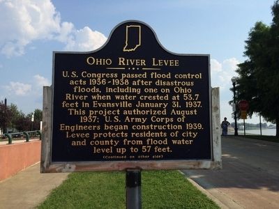
U.S. Congress passed flood control acts 1936-1938 after disastrous floods, including one on Ohio River when water crested at 53.7 feet in Evansville January 31, 1937. This project authorized August 1937; U.S. Army Corps of Engineers began construction 1939. Levee protects residents of city and county from flood water level up to 57 feet.
Side 2
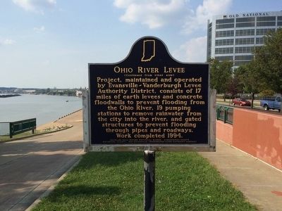
Erected 2003 by Indiana Historical Bureau, Vanderburgh County Historical Society, and Evansville-Vanderburgh Levee Authority District.
Topics. This historical marker is listed in these topic lists: Disasters • Waterways & Vessels. A significant historical date for this entry is January 31, 1937.
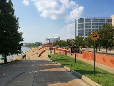
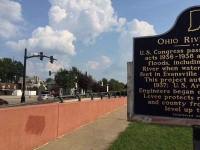
Location. 37° 58.061′ N, 87° 34.47′ W. Marker is in Evansville, Indiana, in Vanderburgh County. Marker can be reached from the intersection of North Water Street and Walnut Street. North Water Street is also know as the Ohio River Scenic Byway. Marker is located along the Riverfront plaza. Touch for map. Marker is at or near this postal address: North Water Street, Evansville IN 47708, United States of America. Touch for directions.
Other nearby markers. At least 8 other markers are within walking distance of this marker. Evansville's World War II Effort (within shouting distance of this marker); McCurdy Hotel (about 500 feet away, measured in a direct line); Civil War Camp (about 600 feet away); In Victorian Splendor (about 700 feet away); YWCA (approx. 0.3 miles away); Albion Fellows Bacon (approx. 0.3 miles away); Holy Trinity Parish Sesquicentennial (approx. 0.4 miles away); McCurdy - Sears Building (approx. 0.4 miles away). Touch for a list and map of all markers in Evansville.
Regarding Ohio River Levee. The river rose to a record 53.74 feet, which was 19 feet above flood stage, and sent water over the six-month-old riverfront plaza in Evansville. The city and state declared martial law on January 24 and the federal government sent 4,000 WPA workers to the city to assist rescue operations. Residents were rapidly evacuated from river towns by train and bus in the early stages of the flood, making Indiana the only state to avoid drowning fatalities. More than 100,000 persons were left homeless by the disaster.
The Red Cross and federal government spent the equivalent of $11 million in today's money in aid to the city. The Indiana State Flood Commission was created in response, and it established the Evansville-Vanderburgh Levee Authority District, which built a system of earth levees, concrete walls, and pumping stations to protect the city.
Credits. This page was last revised on June 16, 2016. It was originally submitted on September 24, 2015, by Mark Hilton of Montgomery, Alabama. This page has been viewed 478 times since then and 35 times this year. Photos: 1, 2, 3, 4. submitted on September 24, 2015, by Mark Hilton of Montgomery, Alabama.


