Sunset Hills in Madison in Dane County, Wisconsin — The American Midwest (Great Lakes)
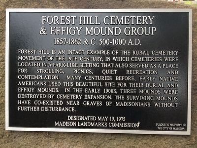
Forest Hill Cemetery & Effigy Mound Group
1857 - 1862 & C. 500 - 1000 A.D.
Inscription.
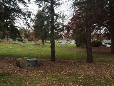
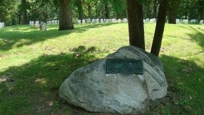
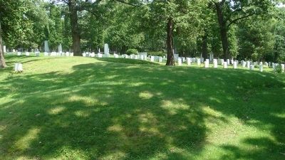
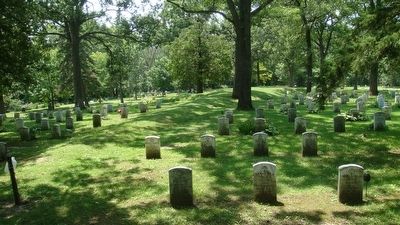
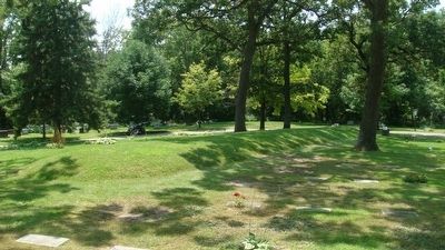
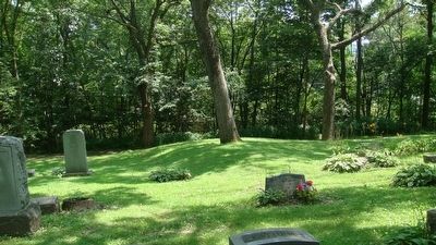
Forest Hill is an intact example of the rural cemetery movement of the 19th century, in which cemeteries were located in a park-like setting that also served as a place for strolling, picnics, quiet recreation and contemplation. Many centuries before, early native Americans used this beautiful site for their burial and effigy mounds. In the early 1900s, three mounds were destroyed by cemetery expansion. The surviving mounds have co-existed near graves of Madisonians without further disturbance.
Erected 2015 by the Madison Landmarks Commission. (Marker Number 33.)
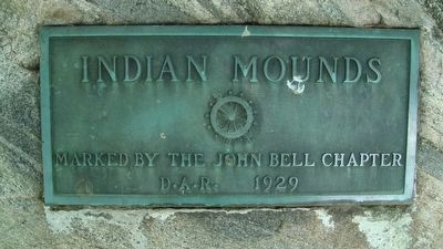
Topics and series. This historical marker is listed in these topic lists: Cemeteries & Burial Sites • Native Americans. In addition, it is included in the Daughters of the American Revolution, and the Wisconsin, Madison Landmarks Commission series lists. A significant historical year for this entry is 500 CE.
Location. 43° 4.017′ N, 89° 25.783′ W. Marker is in Madison, Wisconsin, in Dane County. It is in Sunset Hills. Marker is at the intersection of Speedway Road and Regent Street, on the right when traveling north on Speedway Road. Touch for map. Marker is at or near this postal address: One Speedway Road, Madison WI 53705, United States of America. Touch for directions.
Other nearby markers. At least 8 other markers are within walking distance of this marker. Forest Hill Cemetery (a few steps from this marker); Forest Hill Soldiers' Lot (about 400 feet away, measured in a direct line); Site of Former Greenbush Cemetery Burials (approx. ¼ mile away); Aldo Leopold House (approx. 0.3 miles away); In Memory of Our Beloved Sons (approx. 0.4 miles away); Bradley-Sigma Phi House (approx. half a mile away); Hoyt Park (approx. 0.6 miles away); Elliott House (approx. 0.6 miles away). Touch for a list and map of all markers in Madison.
Regarding Forest Hill Cemetery & Effigy Mound Group. The Madison Landmarks Commission designated Forest Hill Cemetery and Effigy Mound Group as a landmark (no. 33) in 1975 (revised 1990), stating that "Forest Hill Cemetery was developed from 1857-1862 as the new city cemetery, replacing the smaller cemetery where Orton Park is today. It is one of the most intact examples of the rural cemetery movement of the 19th century, in which burials were set in a park like grounds that also served as a place for strolling, picnics and quiet recreation. The popularity of the rural cemeteries signaled the need for recreational space and gave impetus to the city parks movement. Historic buildings within the cemetery
boundaries include the chapel-like receiving vault of ca. 1865, the John Catlin Memorial Chapel of 1878 and the Mausoleum, built in 1916. The cemetery office was built in 1908 for that purpose and also served as a shelter for people waiting for the streetcar at what was then the end of the line. Interesting interments include sections for soldiers and orphans of the Civil War, a section for Confederate prisoners of war who died at Camp Randall, a section for other war veterans, and sections for some of Madison's earliest Jewish citizens.
"The beautiful views of the whole surrounding area were the reason for acquiring the land as a city cemetery, but it was also the same reason that the Native Americans used the site for their burials and effigy mounds many centuries before. The Forest Hill Cemetery Mound Group once consisted of seven mounds and now consists of two 'panther' mounds (probably actually water spirits), a linear mound and a flying bird."
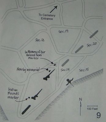
According to a 1996 survey by Robert A. Birmingham and Katherine H. Rankin entitled Native American Mounds in Madison and Dane County, "This Late Woodland effigy mound group presently consists of two panthers, a linear and most of a goose effigy (the head was destroyed when the Illinois Central Railroad was built in the 1880s). Three other linears in line with the panther's tail to the northeast were destroyed by
early cemetery construction. From the main cemetery entrance follow the left-most forks in the cemetery road until you reach the back of the cemetery near the railroad tracks. During cemetery office hours, you may pick up a map to guide you to the mounds. Recognizing the quiet beauty of the spot, the City selected this acreage in 1857 as its own burial ground, thus continuing the ancient tradition to modern times. Many prominent Madisonians are buried here, including historian Frederick Jackson Turner and Progressive politician 'Fighting Bob' LaFollette."
Credits. This page was last revised on February 16, 2023. It was originally submitted on October 23, 2015, by William J. Toman of Green Lake, Wisconsin. This page has been viewed 575 times since then and 30 times this year. Photos: 1, 2. submitted on October 23, 2015, by William J. Toman of Green Lake, Wisconsin. 3, 4, 5, 6, 7, 8, 9. submitted on July 30, 2010, by William J. Toman of Green Lake, Wisconsin.
