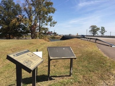
Near Lake Village in Chicot County, Arkansas — The American South (West South Central)
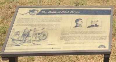
The Battle at Ditch Bayou
As the Union troops advance, the cannon thunder with grape and canister. The seasoned troops closed the gaps in their line and keep coming. They poured volley after volley toward their position. However, most of the Confederate troops are hidden in trees while the Union soldiers are caught in the open.
The battle rages for six hours. The mile-long Federal line reaches the edge of the bayou. They have suffered high casualties, 132 killed, wounded, or missing. Federal losses would be higher had the black powder smoke not created a protective fog.
Finally, ammunition dwindling, the Confederates make an orderly withdrawal and march past Lake Village. They have only four killed and 33 wounded. The Union troops bury their 33 dead on the battlefield and carry their wounded into town. Some of the seriously wounded men suffer for months until they die in a hospital.
This was the largest battle to occur in Chicot County and the last significant battle on Arkansas soil.
Erected by the American Battlefield Protection Program, National Park Service, Department of the Interior.
Topics. This historical marker is listed in these topic lists: War, US Civil • Waterways & Vessels. A significant historical date for this entry is June 6, 1864.
Location. 33° 16.173′ N, 91° 13.329′ W. Marker is near Lake Village, Arkansas, in Chicot County. Marker is at the intersection of U.S. 82 and Pugh Circle, on the right when traveling west on U.S. 82. Touch for map. Marker is at or near this postal address: 4563 US-82, Lake Village AR 71653, United States of America. Touch for directions.
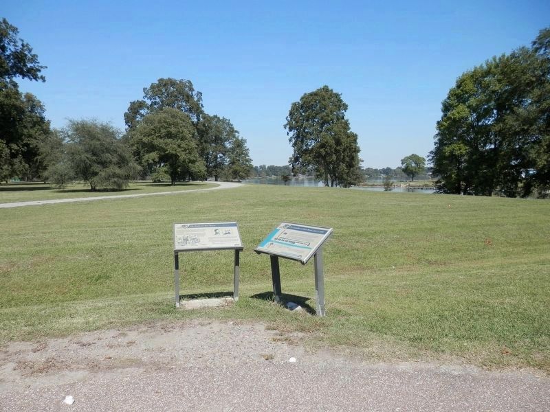
Other nearby markers. At least 8 other markers are within 6 miles of this marker, measured as the crow flies. The Casualties at Ditch Bayou June 6, 1864 (here, next to this marker); Saunders-Pettit-Chapman-Cook Plantation Home (approx. 1.4 miles away); Lakeport in the Civil War (approx. 4 miles away); Lakeport Plantation House (approx. 4 miles away); Italian Immigrants On Sunnyside Plantation (approx. 5.4 miles away); Chicot County Confederate Monument (approx. 5˝ miles away); Chicot County (approx. 5˝ miles away); New Hope Missionary Baptist Church (approx. 5.6 miles away). Touch for a list and map of all markers in Lake Village.
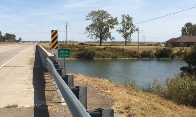
Regarding The Battle at Ditch Bayou. The Battle of Ditch Bayou was also known as (aka):
aka:
Engagement at Old River Lake
aka: Engagement at Lake Chicot
aka: Engagement at Lake Village
aka: Engagement at Furlough
aka: Engagement at Fish Bayou
aka: Engagement at Grand Lake
Also see . . .
1. From the Encyclopedia of Arkansas. (Submitted on November 9, 2015, by Mark Hilton of Montgomery, Alabama.)
2. The Battle at Old River Lake. (Submitted on November 9, 2015, by Mark Hilton of Montgomery, Alabama.)
Credits. This page was last revised on March 14, 2021. It was originally submitted on November 9, 2015, by Mark Hilton of Montgomery, Alabama. This page has been viewed 837 times since then and 60 times this year. Last updated on November 9, 2015, by Keith S Smith of West Chester, Pennsylvania. Photos: 1. submitted on November 9, 2015, by Mark Hilton of Montgomery, Alabama. 2. submitted on March 14, 2021, by Cajun Scrambler of Assumption, Louisiana. 3, 4, 5. submitted on November 9, 2015, by Mark Hilton of Montgomery, Alabama. • Bill Pfingsten was the editor who published this page.
