Amarillo in Potter County, Texas — The American South (West South Central)
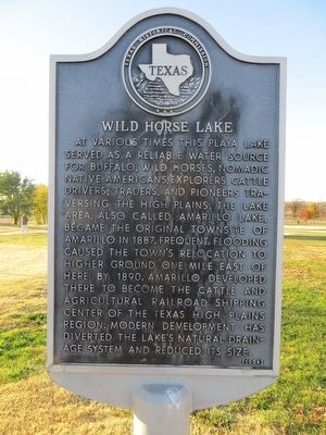
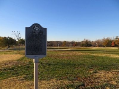
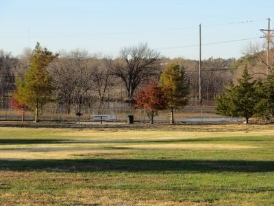
Wild Horse Lake
Erected 1994 by Texas Historical Commission. (Marker Number 5810.)
Topics. This historical marker is listed in these topic lists: Roads & Vehicles • Waterways & Vessels. A significant historical year for this entry is 1887.
Location. 35° 13.292′ N, 101° 50.993′ W. Marker is in Amarillo, Texas, in Potter County. Marker is on Amarillo Boulevard, on the right when traveling east. Marker is located on the south access road of Amarillo Boulevard, or Old Route 66, about .1 mile west of intersection of Amarillo Boulevard and Travis Street. Touch for map. Marker is in this post office area: Amarillo TX 79107, United States of America. Touch for directions.
Other nearby markers. At least 8 other markers are within 2 miles of this marker, measured as the crow flies. Northwest Texas Hospital School of Nursing (approx. one mile away); American Legion Hanson Post No. 54 (approx. one mile away); Route 66 in Amarillo (approx. 1.2 miles away); Fort Worth and Denver City Railway (approx. 1.2 miles away); Amarillo Natatorium ("The Nat") (approx. 1.2 miles away); Potter County Library (approx. 1.3 miles away); Potter County Courthouse (approx. 1.3 miles away); Potter County (approx. 1.3 miles away). Touch for a list and map of all markers in Amarillo.
Credits. This page was last revised on June 16, 2016. It was originally submitted on December 18, 2015, by Bill Kirchner of Tucson, Arizona. This page has been viewed 1,592 times since then and 101 times this year. Photos: 1, 2, 3. submitted on December 18, 2015, by Bill Kirchner of Tucson, Arizona.


