Farmington in Hartford County, Connecticut — The American Northeast (New England)
Canal Junction
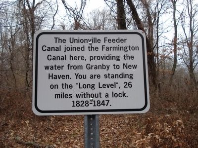
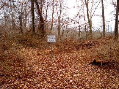
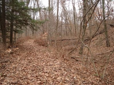
The Unionville Feeder Canal joined the Farmington Canal here, providing the water from Granby to New Haven. You are standing on the “Long Level”, 26 miles without a lock. 1828-1847.
Erected 2015 by Farmington Public Works.
Topics. This historical marker is listed in this topic list: Waterways & Vessels.
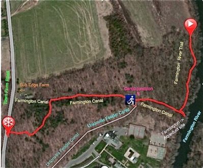
Location. 41° 45.367′ N, 72° 49.4′ W. Marker is in Farmington, Connecticut, in Hartford County. Marker can be reached from Town Farm Road. The site is located on Farmington’s Open Space, between 162 and 184 Town Farm Road. Follow the yellow blazed trail for 0.25 miles to the marker. Touch for map. Marker is in this post office area: Farmington CT 06032, United States of America. Touch for directions.
Other nearby markers. At least 8 other markers are within 3 miles of this marker, measured as the crow flies. The Farmington Aqueduct (about 700 feet away, measured in a direct line); The Farmington Canal (approx. ¼ mile away); Canal Aqueduct (approx. ¼ mile away); Birthplace of Wilford Woodruff (approx. 1.2 miles away); Farmington (approx. 1.6 miles away); Lest We Forget (approx. 2.1 miles away); Farmington Veterans Memorial (approx. 2.3 miles away); a different marker also named Farmington (approx. 2.3 miles away). Touch for a list and map of all markers in Farmington.
Regarding Canal Junction. The main source of water for the Farmington Canal in Connecticut was the Unionville Feeder Canal. The Farmington River was dammed downstream from the center of Unionville near the Town Hall. It was built to the same dimensions as the Farmington Canal. The long term plan for this canal was to continue up the Farmington Valley into Massachusetts, then head west to connect with the Hudson River. The long term plan for the Farmington Canal was to connect the seaport of New Haven, CT to the St. Lawrence River in Canada.
Also see . . . Farmington Canal. Wikipedia entry (Submitted on January 10, 2016, by Alan M. Perrie of Unionville, Connecticut.)
Photographed By Alan M. Perrie, December 19, 2015
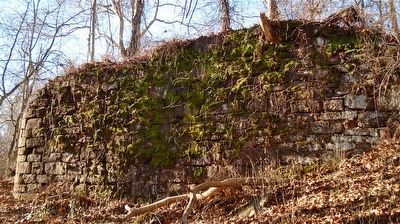
4. The west abutment of the Farmington Aqueduct.
If you continue on the yellow blazed trail for another 0.1 mile, you will reach the almost complete abutment. The 280 foot long Farmington Aqueduct was Connecticut’s major engineering accomplishment in the 1820’s.
Credits. This page was last revised on March 19, 2024. It was originally submitted on January 10, 2016, by Alan M. Perrie of Unionville, Connecticut. This page has been viewed 835 times since then and 22 times this year. Photos: 1, 2, 3, 4, 5. submitted on January 10, 2016, by Alan M. Perrie of Unionville, Connecticut. • Bill Pfingsten was the editor who published this page.
