Moab in Grand County, Utah — The American Mountains (Southwest)
The Neck
Canyonlands National Park-Island in the Sky District
Photographed By Don Morfe, September 14, 2007
1. The Neck Marker
(Inscription under the image on the right)
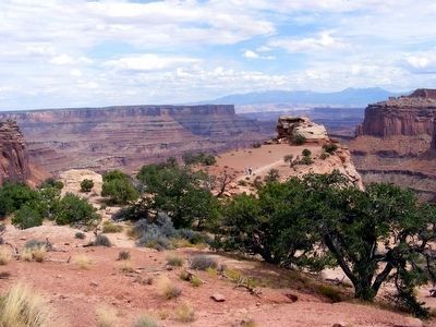
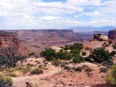
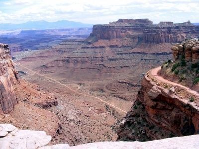
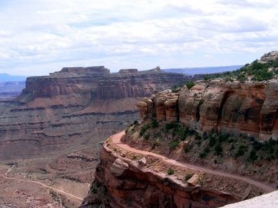
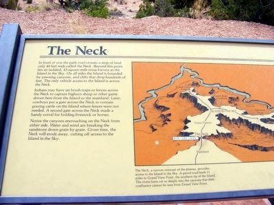
The Neck, a narrow remnant of the plateau, provides access to the Island in the Sky. A paved road leads 11 miles to Grand View Point, the southern tip of the Island. The rivers have cut so deeply into the canyons that their confluence cannot be seen from Grand View Point.
The Neck, a narrow remnant of the plateau, provides access to the Island in the Sky. A paved road leads 11 miles to Grand View Point, the southern tip of the Island. The rivers have cut so deeply into the canyons that their confluence cannot be seen from Grand View Point.
Indians may have set brush traps or fences across the Neck to capture bighorn sheep or other game driven here from the Island or the mainland. Later, cowboys put a gate across the Neck to contain grazing cattle on the Island where fences were not needed. A second gate across the Neck made a handy corral for holding livestock or horses.
Notice the canyons encroaching on the Neck from either side. Water and wind are breaking the sandstone down grain by grain. Given time, the Neck will erode away, cutting off access to the Island in the Sky. (Inscription under the image on the right) The Neck, a narrow remnant of the plateau, provides access to the Island in the Sky. A paved road leads 11 miles to Grand View Point, the southern tip of the Island. The rivers have cut so deeply into the canyons that their confluence cannot be seen from Grand View Point.
Topics. This historical marker is listed in this topic list: Natural Features.
Location. 38° 27.165′ N, 109° 49.193′ W. Marker is in Moab, Utah, in Grand County. Marker is on Grand View Point Road. Touch for map. Marker is in this post office area: Moab UT 84532, United States of America. Touch for directions.
Other nearby markers. At least 8 other markers are within 10 miles of this marker, measured as the crow flies. Indian Ricegrass (approx. half a mile away); The Legend of Dead Horse Point (approx. 4˝ miles away); The Origins Of a Name (approx. 4˝ miles away); Aztec Butte (approx. 5.3 miles away); John Wesley Powell on the Green River (approx. 6.3 miles away); Green River Overlook (approx. 6.4 miles away); Tracks in the Canyon (approx. 7.7 miles away); Protecting Wilderness (approx. 9.8 miles away). Touch for a list and map of all markers in Moab.
Credits. This page was last revised on June 16, 2016. It was originally submitted on February 11, 2016, by Don Morfe of Baltimore, Maryland. This page has been viewed 396 times since then and 20 times this year. Photos: 1, 2, 3, 4, 5, 6. submitted on February 11, 2016, by Don Morfe of Baltimore, Maryland. • Syd Whittle was the editor who published this page.
