Troy in Pike County, Alabama — The American South (East South Central)
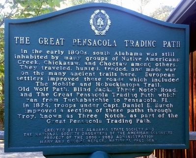
The Great Pensacola Trading Path
Erected by Alabama State Society and the National Daughters of the American Colonists.
Topics and series. This historical marker is listed in these topic lists: Native Americans • Roads & Vehicles. In addition, it is included in the Daughters of the American Colonists series list.
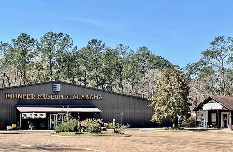
Location. 31° 49.49′ N, 85° 59.773′ W. Marker is in Troy, Alabama, in Pike County. Marker is on U.S. 231, 0.3 miles north of Monticello Drive, on the left when traveling north. The marker is located north of the main building of the Pioneer Museum of Alabama. Touch for map. Marker is at or near this postal address: 248 Highway 231 N, Troy AL 36081, United States of America. Touch for directions.
Other nearby markers. At least 8 other markers are within 3 miles of this marker, measured as the crow flies. First United Methodist Church (approx. 1.8 miles away); Three Notch Road (approx. 1.8 miles away); Confederate Memorial (approx. 1.9 miles away); Pike County WWI Memorial (approx. 1.9 miles away); The Historic Troy Post Office (approx. 1.9 miles away); Pike County's John Lewis: National Civil Rights Icon (approx. 2.1 miles away); Academy Street High School (approx. 2.2 miles away); Tuskegee Army Air Field Hangar (approx. 2.6 miles away). Touch for a list and map of all markers in Troy.
Credits. This page was last revised on March 7, 2021. It was originally submitted on June 21, 2016, by David J Gaines of Pinson, Alabama. This page has been viewed 786 times since then and 47 times this year. Photos: 1. submitted on June 21, 2016, by David J Gaines of Pinson, Alabama. 2. submitted on March 7, 2021, by Mark Hilton of Montgomery, Alabama. • Bernard Fisher was the editor who published this page.

