Ticonderoga in Essex County, New York — The American Northeast (Mid-Atlantic)
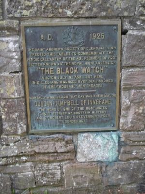
“The Black Watch”
A.D. 1925
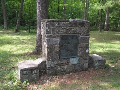
The Saint Andrews Society of Glens Falls, N.Y. erected this tablet to commemorate the heroic gallantry of the 42d Regiment of Foot better known as “The Royal Highlanders” of “The Black Watch” who on July 8, 1758 lost here in killed and wounded over six hundred of the thousand men engaged.
Erected 1925 by Saint Andrews Society of Glens Falls, N.Y.
Topics. This historical marker is listed in these topic lists: Military • Notable Events • War, French and Indian. A significant historical month for this entry is July 1609.
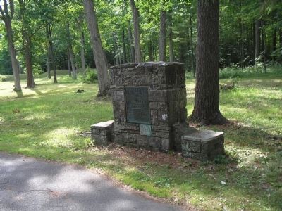
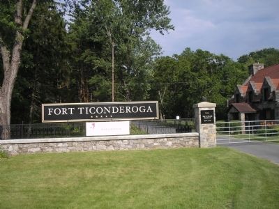
Location. 43° 50.923′ N, 73° 23.958′ W. Marker is in Ticonderoga, New York, in Essex County. Marker is on Sandy Redoubt, on the right when traveling east. Marker is located on the entrance road to Fort Ticonderoga. Touch for map. Marker is in this post office area: Ticonderoga NY 12883, United States of America. Touch for directions.
Other nearby markers. At least 8 other markers are within walking distance of this marker. George Augustus Viscount Howe (within shouting distance of this marker); Colonial Battles Fought in this Vicinity (about 500 feet away, measured in a direct line); Gen. Henry Knox Trail (about 600 feet away); Carillon, July 8-1758 - 1958-13 Juillet (approx. 0.2 miles away); The French Lines & Carillon Battlefield (approx. ¼ mile away); The Carillon Battlefield (approx. 0.3 miles away); a different marker also named “The Black Watch” (approx. 0.3 miles away); The French Lines (approx. 0.3 miles away). Touch for a list and map of all markers in Ticonderoga.
Also see . . .
1. Fort Ticonderoga National Historic Landmark. Fort website homepage (Submitted on July 26, 2008, by Bill Coughlin of Woodland Park, New Jersey.)
2. History of the Black Watch. The Black Watch Official Website entry (Submitted on July 26, 2008, by Bill Coughlin of Woodland Park, New Jersey.)
Photographed By Bill Coughlin, July 13, 2008
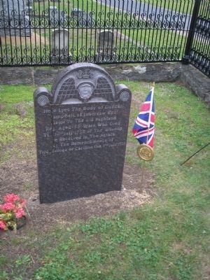
5. Grave of Major Duncan Campbell
Major Duncan Campbell of the Royal Highlanders, who was killed during the July 8, 1758 assault on Fort Carillon, is buried in Union Cemetery in Fort Edward. He lies alongside Jane McCrea, a Loyalist who was killed by Indians during the Revolutionary War.
Credits. This page was last revised on June 2, 2021. It was originally submitted on July 26, 2008, by Bill Coughlin of Woodland Park, New Jersey. This page has been viewed 2,265 times since then and 36 times this year. Photos: 1, 2, 3, 4, 5. submitted on July 26, 2008, by Bill Coughlin of Woodland Park, New Jersey.
