Near Prescott in Nevada County, Arkansas — The American South (West South Central)
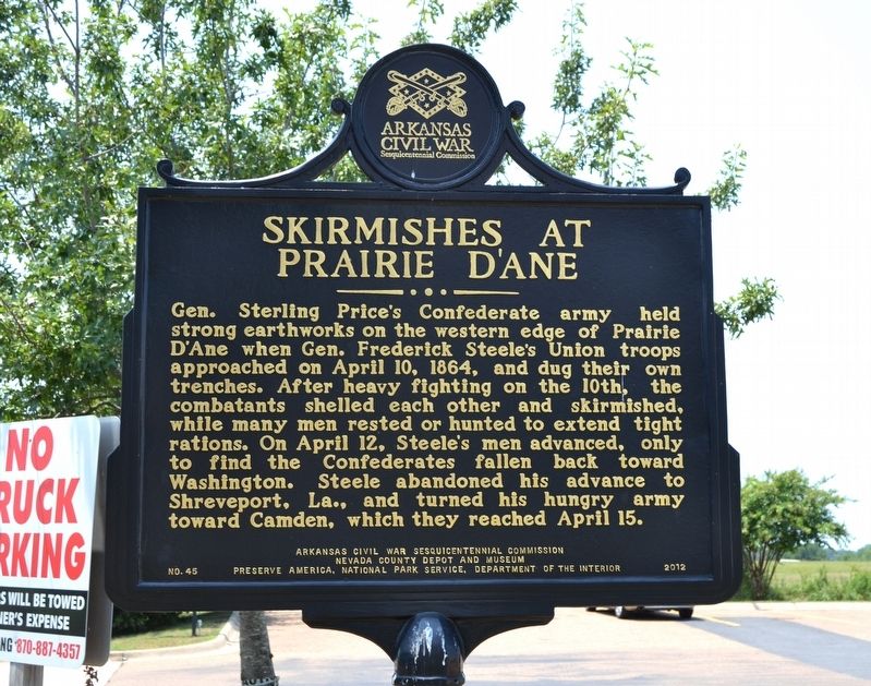
Skirmishes at Prairie D'Ane
Erected 2012 by Arkansas Civil War Sesquicentennial Commission; Nevada County Depot and Museum; Preserve America, National Park Service, Department of the Interior. (Marker Number 45.)
Topics and series. This historical marker is listed in this topic list: War, US Civil. In addition, it is included in the Arkansas Civil War Sesquicentennial Commission series list. A significant historical date for this entry is April 10, 1864.
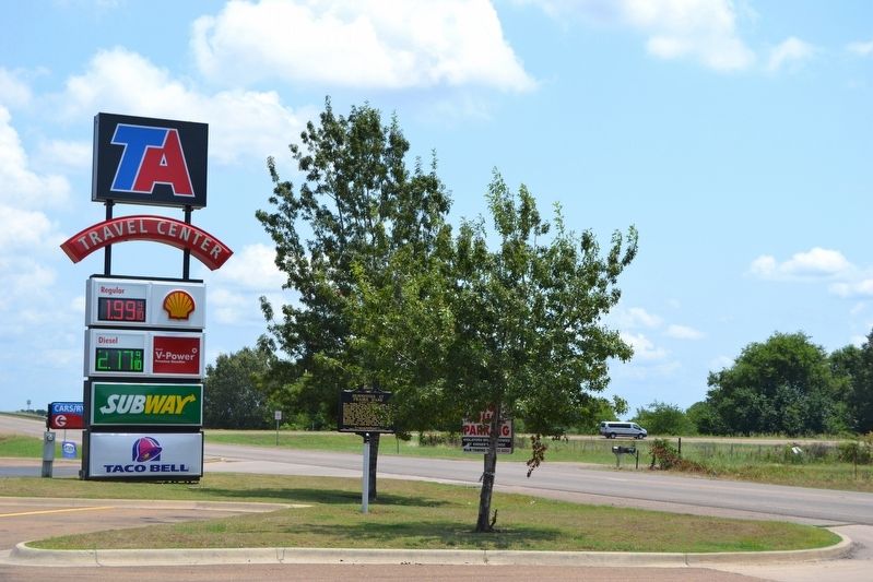
Location. 33° 48.637′ N, 93° 25.659′ W. Marker is near Prescott, Arkansas, in Nevada County. Marker is on Blevins Road (U.S. 371) west of Interstate 30, on the right when traveling west. Marker is located in front of the parking lot of the TA Travel Center. Touch for map. Marker is in this post office area: Prescott AR 71857, United States of America. Touch for directions.
Other nearby markers. At least 8 other markers are within 14 miles of this marker, measured as the crow flies. Governor Thomas Chipman McRae (approx. 2 miles away); First Presbyterian Church (approx. 2.8 miles away); Rear Guard Action at Moscow (approx. 4.2 miles away); Action at Moscow / Moscow Church and Cemetery (approx. 4.2 miles away); Ephesus Cemetery (approx. 5½ miles away); Railroad Inspection Car (approx. 13.6 miles away); President William Jefferson Clinton (approx. 13.6 miles away); Merchants Of Hope (approx. 13.6 miles away). Touch for a list and map of all markers in Prescott.
Also see . . .
1. Skirmish at Prairie D'Ane. From The Encyclopedia of Arkansas History & Culture. (Submitted on August 7, 2016.)
2. Battle of Prairie D'Ane - Wikipedia entry. (Submitted on August 7, 2016.)
Credits. This page was last revised on October 24, 2020. It was originally submitted on August 7, 2016, by Duane Hall of Abilene, Texas. This page has been viewed 908 times since then and 49 times this year. Photos: 1, 2, 3. submitted on August 7, 2016, by Duane Hall of Abilene, Texas.


