Whitesboro in Grayson County, Texas — The American South (West South Central)
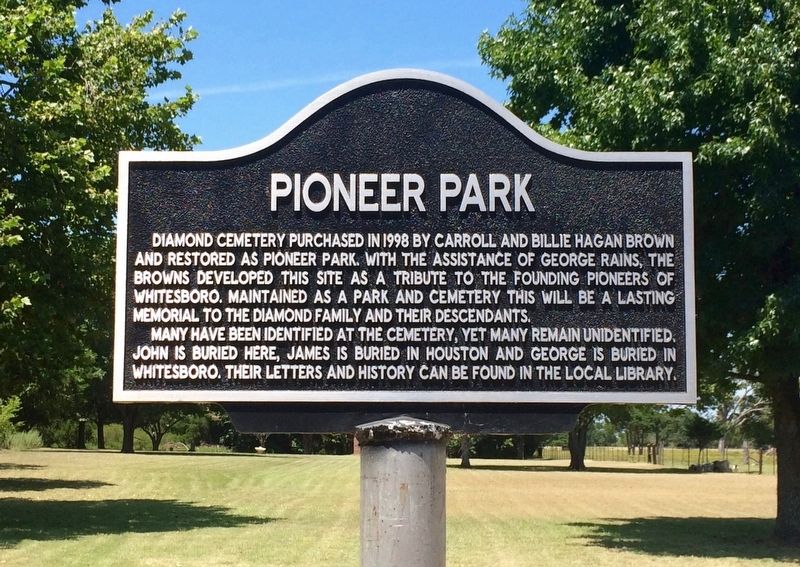
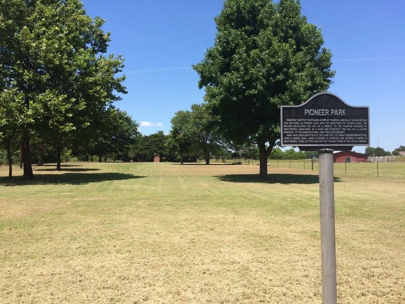
Pioneer Park
Many have been identified at the cemetery, yet many have remained unidentified. John is buried here, James is buried in Houston and George is buried in Whitesboro. Their letters and history can be found in the local library.
Topics. This historical marker is listed in these topic lists: Cemeteries & Burial Sites • Notable Places • Settlements & Settlers. A significant historical year for this entry is 1998.
Location. 33° 39.356′ N, 96° 55.649′ W. Marker is in Whitesboro, Texas, in Grayson County. Marker is on West Main Street (State Highway 56) 1.1 miles east of U.S. 82, on the right when traveling west. Touch for map. Marker is at or near this postal address: 1057 West Main Street, Whitesboro TX 76273, United States of America. Touch for directions.
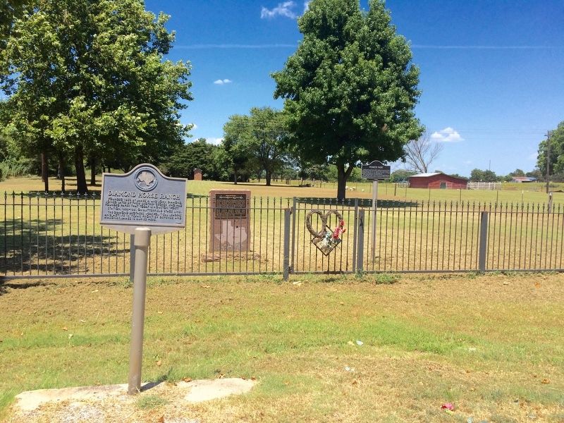
Other nearby markers. At least 8 other markers are within 8 miles of this marker, measured as the crow flies. Diamond Station (within shouting distance of this marker); Diamond Horse Ranch (within shouting distance of this marker); Whitesboro (approx. 1.2 miles away); Sanborn Ranch (approx. 6.1 miles away); Gainesville (approx. 6.3 miles away); The Cross Timbers (approx. 6˝ miles away); Hiram Lodge No. 433, A. F. & A. M. (approx. 6.7 miles away); Salem Community Well (approx. 7.1 miles away). Touch for a list and map of all markers in Whitesboro.
Credits. This page was last revised on August 11, 2016. It was originally submitted on August 11, 2016, by Mark Hilton of Montgomery, Alabama. This page has been viewed 430 times since then and 36 times this year. Photos: 1, 2, 3, 4. submitted on August 11, 2016, by Mark Hilton of Montgomery, Alabama.


