Near Rolling Prairie in LaPorte County, Indiana — The American Midwest (Great Lakes)
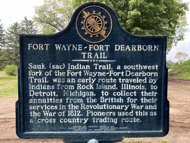
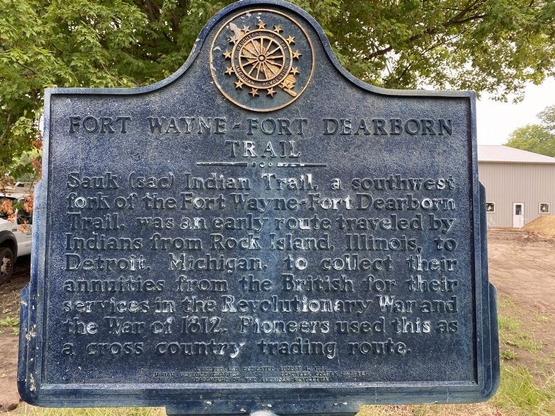
Fort Wayne-Fort Dearborn Trail
Topics and series. This historical marker is listed in these topic lists: Native Americans • Roads & Vehicles. In addition, it is included in the Daughters of the American Revolution series list. A significant historical year for this entry is 1812.
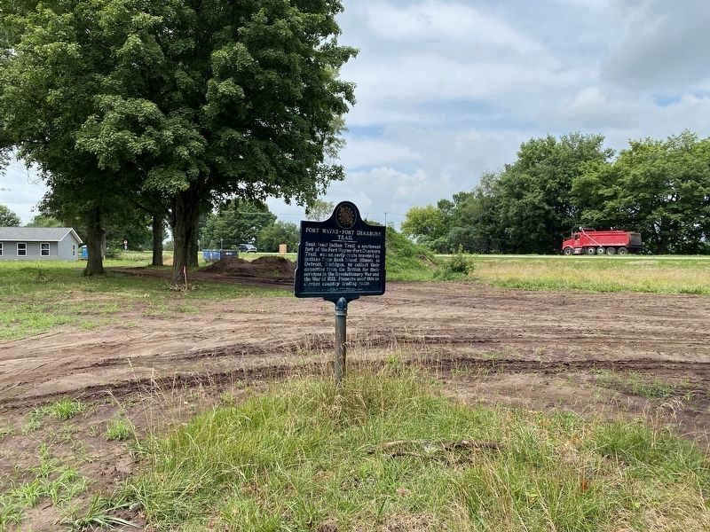
Location. 41° 40.277′ N, 86° 36.069′ W. Marker is near Rolling Prairie, Indiana, in LaPorte County. Marker is on U.S. 20 west of State Road 2, on the right when traveling east. It is in rest area, between US 20 and Oak Knoll Road (original Lincoln Hwy). Touch for map. Marker is at or near this postal address: 5022 E Oak Knoll Rd, Rolling Prairie IN 46371, United States of America. Touch for directions.
Other nearby markers. At least 8 other markers are within 7 miles of this marker, measured as the crow flies. Rolling Prairie School Honor Roll (approx. 0.6 miles away); Rolling Prairie School (approx. 0.6 miles away); New Carlisle Civil War Memorial (approx. 4.6 miles away); New Carlisle World War II Honor Roll (approx. 5.4 miles away); New Carlisle Founded (approx. 5.4 miles away); The Historic Lincoln Highway (approx. 5.4 miles away); Rooted in Studebaker History (approx. 5.8 miles away); Quaker Cemetery (approx. 6˝ miles away). Touch for a list and map of all markers in Rolling Prairie.
More about this marker. One side of the marker was very worn and difficult to read. The other side was in much better shape.
Additional keywords. Old Sauk Trail
Credits. This page was last revised on November 27, 2022. It was originally submitted on April 23, 2007, by M. Bowyer of Indianapolis, Indiana. This page has been viewed 2,387 times since then and 26 times this year. Last updated on November 27, 2022, by Lou Donkle of Valparaiso, Indiana. Photos: 1, 2. submitted on July 28, 2022, by Lou Donkle of Valparaiso, Indiana. 3. submitted on July 30, 2022, by Lou Donkle of Valparaiso, Indiana. • Devry Becker Jones was the editor who published this page.


