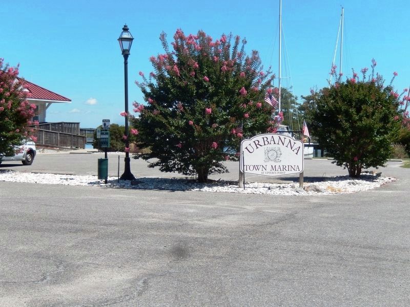
Urbanna in Middlesex County, Virginia — The American South (Mid-Atlantic)
Smith’s Snapshot
Captain John Smith Chesapeake National Historic Trail
— National Park Service, U.S. Department of the Interior —
(panel 1)
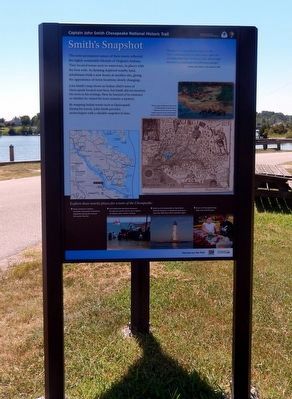
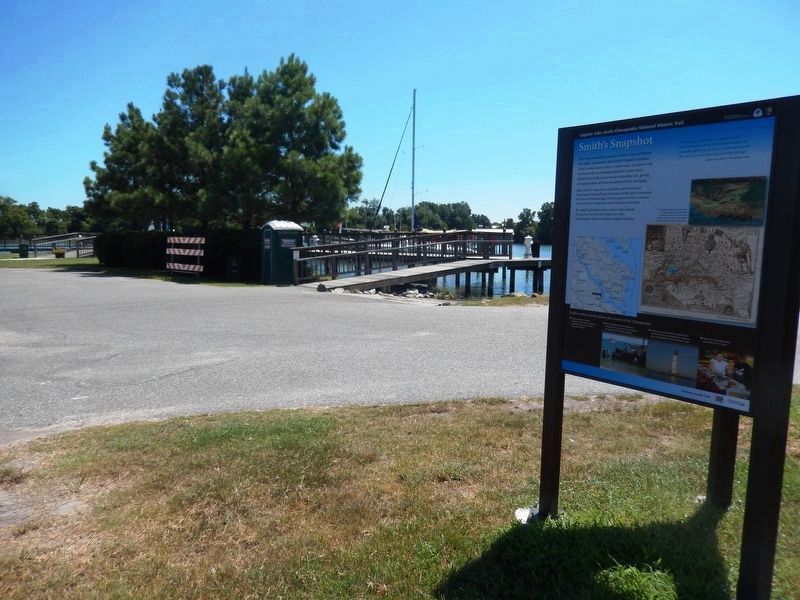
Smith's Snapshot
The semi-permanent nature of their towns reflected the highly sustainable lifestyle of Virginia’s Indians. They located towns next to waterways, in places with the best soils. As farming depleted nearby land, inhabitants built a new house at another site, giving the appearance of town locations slowly changing.
John Smith’ map shows an Indian chief’s town of Opiscopank located near here, but Smith did not mention the town in his writings. How he learned of its existence or whether he visited the town remains a mystery.
By mapping Indian towns such as Opiscopank during his travels, John Smith provides archeologists with a valuable snapshot in time.
“This place is a quarter of a mile from the river containing thirty or forty houses upon an exceeding high land. At the foot of the hill towards the river is a wood watered with many springs.”
-Captain John Smith, A True Relation, 1608
(caption)
On this map, Smith placed the town of Opiscopank on the banks of Urbana Creek near here. Using Smith’s map as a clue, archeologists found evidence of Indian habitation.
(sidebar)
Explore these nearby places for a taste of the Chesapeake:
• Enjoy Urbana’s historic character and scenic waterfront, especially during the annual fall oyster festival.
• Visit Deltaville Maritime Museum for special events and to see a replica of Captain John Smith’s shallop.
• Stroll on the boardwalk at New Point Comfort Preserve in Mathews County to view the 1804 New Point Comfort Light.
• Feast on Chesapeake Bay blue crab with friends.
(panel 2)
John Smith Explores the Chesapeake
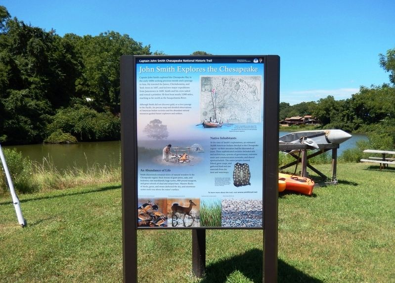
Captain John Smith explored the Chesapeake Bay in the early 1600s seeking precious metals and a passage to Asia. He traveled the James, Chickahominy, and York rivers in 1607, and led two major expeditions from Jamestown in 1608. Smith and his crew sailed and rowed a primitive 30-foot boat nearly 3,000 miles, reaching as far north as the Susquehanna River.
Although Smith did not discover gold, or a river to the Pacific, his precise map and detailed observations of American Indian societies and the abundant natural resources guided future explorers and settlers.
Native Inhabitants
At the time of Smith's explorations, an estimated 50,000 American Indians dwelled in the Chesapeake region—as their ancestors had for thousands of years. Their sophisticated societies included arts and architecture, systems of government, extensive trade and communication networks, and shared spiritual beliefs. The native people hunted, fished, grew crops,
and gathered food and raw materials from the land and waterways.
An Abundance of Life
Smith discovered a treasure trove of natural wonders in the Chesapeake region: thick forests of giant pines, oaks, and hickories; vast marshlands, huge turtles, 800-pound sturgeon, and great schools of shad and striped bass. Massive flocks of ducks, geese, and swans darkened the sky; and enormous oyster reefs rose above the water's surface.
To learn more about the trail visit www.smithtrail.net
(captions)
Smith’s remarkably accurate map of the Chesapeake Bay (published in 1612), and his spirited written accounts of a lush landscape inspired European migration.
Decorative shells-such as those found on this ceremonial robe-were valuable in the American Indian’s trading network that extended for hundreds of miles. This robe (which may have belonged to paramount chief Powhatan) was crafted from four elk skins and adorned with more than 17,000 shells.
Wood ducks and other waterfowl flourished
The forests and lowlands teemed with deer
Cattails grew thick in pristine marshes
Flocks of geese filled the sky
(panel 3)
Join the Adventure
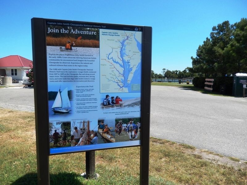
Explore the places Englishman John Smith traveled in the early 1600s. Learn about the thriving American Indian communities he encountered and imagine the bountiful Chesapeake he observed. Experience the natural and cultural richness that exists in the region today.
The 3,000-mile Captain John Smith Chesapeake National Historic Trail traces the exploratory voyages Smith conducted from 1607 to 1609 on the Chesapeake Bay and along several major rivers. The trail includes parks, museum sites, driving tours, and water trails that align with Smith's historic voyage routes and offer opportunities for recreation and discovery.
Experience the Trail
• Explore rivers, coves, and open water by kayak, sailboat, or motor craft.
• Bicycle or hike along woodland trails and shoreline paths.
• Follow winding back roads through rural landscapes and historic villages.
• Visit places that celebrate American Indian heritage.
• See birds and other wildlife foraging in marshes, waterways, and forests.
• Attend festivals and demonstrations, or join a guided tour.
To learn more about the trail and to plan your adventure, visit
www.smithtrail.net
(captions)
Captain John Smith’s Historic Voyage Routes
“Here are mountains, hils, plaines, valleys, rivers, and brookes all running most pleasantly into a faire Bay compassed but for the mouth with fruitful and delightsome land.”
– John Smith, 1612
Overlooking the Susquehanna
River
Students aboard Discovery at Jamestown Settlement
Kayakers explore the trail
Indian dance demonstration at Jefferson Patterson Park and Monument
Erected 2014 by National Park Service, U.S. Department of the Interior.
Topics and series. This historical marker is listed in these topic lists: Exploration • Native Americans • Waterways & Vessels. In addition, it is included in the Captain John Smith Chesapeake National Historic Trail series list.
Location. 37° 38.292′ N, 76° 34.254′ W. Marker is in Urbanna, Virginia, in Middlesex County. Marker is on Oyster Road (Virginia Route 1002) 0.2 miles north of Virginia Street (Virginia Route 602), on the left when traveling north. Located at Urbanna Town Marina at Upton's Point. Touch for map. Marker is at or near this postal address: 210 Oyster Road, Urbanna VA 23175, United States of America. Touch for directions.
Other nearby markers. At least 8 other markers are within walking distance of this marker. Civil War (within shouting distance of this marker); Oysters (about 600 feet away, measured in a direct line); Prettyman’s Rolling Road (approx. 0.2 miles away); A Hub For Commerce (approx. 0.2 miles away); John Mitchell’s Map (approx. 0.2 miles away); Old Tobacco Warehouse (approx. 0.2 miles away); Tobacco Road (approx. 0.2 miles away); Urbanna Museum & Visitors Center (approx. 0.2 miles away). Touch for a list and map of all markers in Urbanna.
Also see . . . Captain John Smith Chesapeake National Historic Trail. National Park Service (Submitted on August 29, 2016.)
Photographed By Don Morfe, August 17, 2016
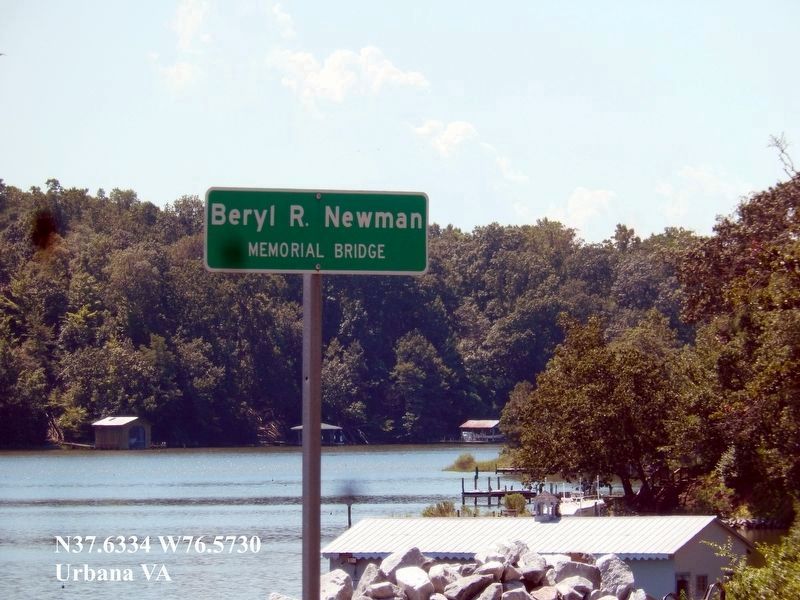
6. Beryl R. Newman Memorial Bridge sign
This sign is on Urbana Road as you leave Urbana. He was a World War II Congressional Medal of Honor Recipient. He is buried in Remlick Gardens Cemetery, Remlick VA. His Medal of Honor information and citation is: NEWMAN, BERYL R.
• Rank and organization: First Lieutenant, U.S. Army, 133d Infantry, 34th Infantry Division
• Place and date: Near Cisterna, Italy, 26 May 1944
• Entered service at: Baraboo, Wis.
• G.O. No.: 5, 15 January 1945
Citation: For conspicuous gallantry and intrepidity above and beyond the call of duty on 26 May 1944. Attacking the strongly held German Anzio-Nettuno defense line near Cisterna, Italy, 1st Lt. Newman, in the lead of his platoon, was suddenly fired upon by 2 enemy machineguns located on the crest of a hill about 100 yards to his front. The 4 scouts with him immediately hit the ground, but 1st Lt. Newman remained standing in order to see the enemy positions and his platoon then about 100 yards behind. Locating the enemy nests, 1st Lt. Newman called back to his platoon and ordered 1 squad to advance to him and the other to flank the enemy to the right. Then, still standing upright in the face of the enemy machinegun fire, 1st Lt. Newman opened up with his tommygun on the enemy nests. From this range, his fire was not effective in covering the advance of his squads, and 1 squad was pinned down by the enemy fire. Seeing that his squad was unable to advance, 1st Lt. Newman, in full view of the enemy gunners and in the face of their continuous fire, advanced alone on the enemy nests. He returned their fire with his tommygun and succeeded in wounding a German in each of the nests. The remaining 2 Germans fled from the position into a nearby house. Three more enemy soldiers then came out of the house and ran toward a third machinegun. 1st Lt. Newman, still relentlessly advancing toward them, killed 1 before he reached the gun, the second before he could fire it. The third fled for his life back into the house. Covering his assault by firing into the doors and windows of the house, 1st Lt. Newman, boldly attacking by himself, called for the occupants to surrender to him. Gaining the house, he kicked in the door and went inside. Although armed with rifles and machine pistols, the 11 Germans there, apparently intimidated, surrendered to the lieutenant without further resistance, 1st Lt. Newman, single-handed, had silenced 3 enemy machineguns, wounded 2 Germans, killed 2 more, and took 11 prisoners. This demonstration of sheer courage, bravery, and willingness to close with the enemy even in the face of such heavy odds, instilled into these green troops the confidence of veterans and reflects the highest traditions of the U.S. Armed Forces.
Credits. This page was last revised on June 27, 2021. It was originally submitted on August 27, 2016, by Don Morfe of Baltimore, Maryland. This page has been viewed 301 times since then and 10 times this year. Photos: 1, 2, 3, 4, 5, 6. submitted on August 27, 2016, by Don Morfe of Baltimore, Maryland. • Bernard Fisher was the editor who published this page.
