Buffalo in Erie County, New York — The American Northeast (Mid-Atlantic)
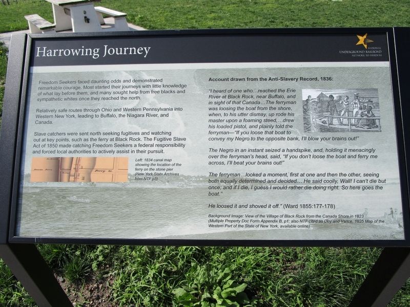
Harrowing Journey
National Underground Railroad Network to Freedom
Relatively safe routes through Ohio and Western Pennsylvania into Western New York, leading to Buffalo, the Niagara River, and Canada.
Slave catchers were sent north seeking fugitives and watching out at key points, such as the ferry at Black Rock. The Fugitive Slave Act of 1850 made catching Freedom Seekers a federal responsibility and forced local authorities to actively assist in their pursuit.
Left: 1834 canal map showing the location of the ferry on the stone pier (New York State Archives from NTF p5)
Account drawn from the Anti-Slavery Record, 1836:
"I heard of one who ...reached the Erie River at Black Rock, near Buffalo, and in sight of Canada...The ferryman was loosing the boat from the shore, when , to his utter dismay, up rode his master upon a foaming stead,...drew his loaded pistol, and plainly told the ferry man - "If you loose that boat to convey my Negro to the opposite bank, I'll blow your brains out!"
The Negro in an instant seized a handspike, and, holding it menacingly over the ferryman's head, said, "If you don't loose the boat and ferry me across, I'll beat your brains out!"
The ferry man...looked a moment, first at the one and then the other, seeing both equally determined and decided...he said coolly, Wall! I can't die but once; and if I die, I guess I would rather die doing right. So here goes the boat."
He loosed it and shoved off." (Ward 1855: 177-178)
Background image: View of the Village of Black Rock from the Canada Shore in 1823 (Multiple Property Doc From Appendix B, p1; also NTF cited as Dey and Vance, 1825 Map of the Western Part of the State of New York, available online)
Topics and series. This historical marker is listed in these topic lists: Abolition & Underground RR • Waterways & Vessels. In addition, it is included in the National Underground Railroad Network to Freedom series list. A significant historical year for this entry is 1850.
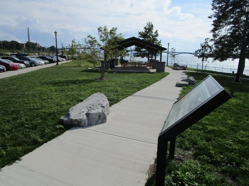
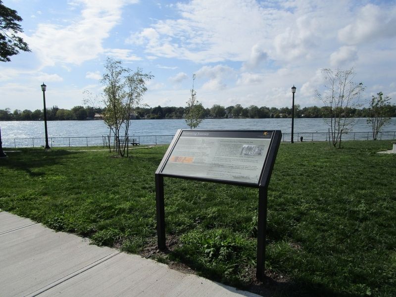
Location. 42° 54.872′ N, 78° 54.174′ W. Marker is in Buffalo, New York, in Erie County. Marker is on Robert Rich Way, 0.1 miles south of Ferry Street Bridge, on the right when traveling south. Marker is on Unity Island (nee Squaw Island) in Broderick Park at the south section of the island. Access is via the Ferry Street Bridge off of Niagara Street (NY Route 266). Touch for map. Marker is in this post office area: Buffalo NY 14213, United States of America. Touch for directions.
Other nearby markers. At least 8 other markers are within walking distance of this marker. Broderick Park / Distinctive River Ecosystems (a few steps from
this marker); Black Rock Harbor / From Plantation to Promised Land (a few steps from this marker); Underground Railroad River Crossing (within shouting distance of this marker); International Crossing (within shouting distance of this marker); Industrial Powerhouse (within shouting distance of this marker); West Ferry Street Bascule Bridge (about 300 feet away, measured in a direct line); Lillion Batchelor - Champion of WNY History (about 300 feet away); Nowak Pier (about 600 feet away). Touch for a list and map of all markers in Buffalo.
Credits. This page was last revised on April 14, 2019. It was originally submitted on September 19, 2016, by Anton Schwarzmueller of Wilson, New York. This page has been viewed 393 times since then and 22 times this year. Photos: 1, 2, 3, 4. submitted on September 19, 2016, by Anton Schwarzmueller of Wilson, New York.


