Near DeGraff in Logan County, Ohio — The American Midwest (Great Lakes)
Old Town Shawnee Village
Site of 1806 War Council
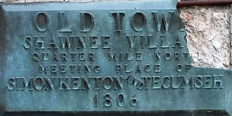
Inscription.
Oldtown
Shawnee Village
quarter mile north
meeting place of
Simon Kenton and Tecumseh
1806
Erected by Logan County Historical Society.
Topics. This historical marker is listed in these topic lists: Native Americans • Settlements & Settlers • Wars, US Indian.
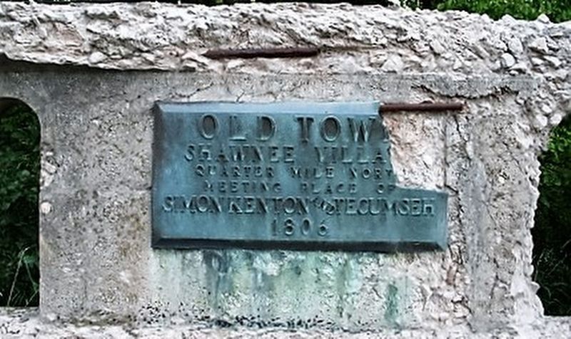
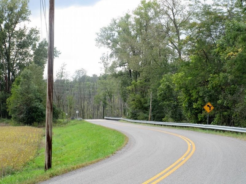
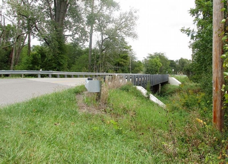
Location. Marker has been reported missing. It was located near 40° 17.9′ N, 83° 55.362′ W. Marker was near DeGraff, Ohio, in Logan County. Marker could be reached from the intersection of DeGraff-Quncy Pike (County Route 63) and DeGraff- St. Paris Pike (County Route 64). Marker was mounted on the northeast abutment of the Stony Creek bridge. Marker had been damaged and removed before the bridge was demolished and replaced. Touch for map. Marker was at or near this postal address: 3955 C-63, De Graff OH 43318, United States of America. Touch for directions.
Other nearby markers. At least 8 other markers are within 6 miles of this location, measured as the crow flies. Curry Blockhouse / Shawnee Village “Oldtown” (about 400 feet away, measured in a direct line); DeGraff, Ohio Veterans Memorial (approx. 1˝ miles away); Old Quincy School (approx. 2˝ miles away); Quincy Ohio Veterans Memorial (approx. 2.6 miles away); Vance Blockhouse (approx. 3.3 miles away); 1882 Whipple Through Truss Bridge (approx. 3.8 miles away); Pigeon Town / Shawnee Village Site (approx. 4.4 miles away); Beehive Community Church (approx. 5.7 miles away).
More about this marker. A second marker was located about 500 feet south noting “Oldtown” and “Curry’s Blockhouse”,
it too, is missing
Additional keywords. Tecumseh Simon Kenton
Credits. This page was last revised on October 2, 2016. It was originally submitted on October 1, 2016, by Rev. Ronald Irick of West Liberty, Ohio. This page has been viewed 859 times since then and 52 times this year. Photos: 1, 2, 3, 4. submitted on October 1, 2016, by Rev. Ronald Irick of West Liberty, Ohio. • Bill Pfingsten was the editor who published this page.


