Cape Henry in Virginia Beach, Virginia — The American South (Mid-Atlantic)
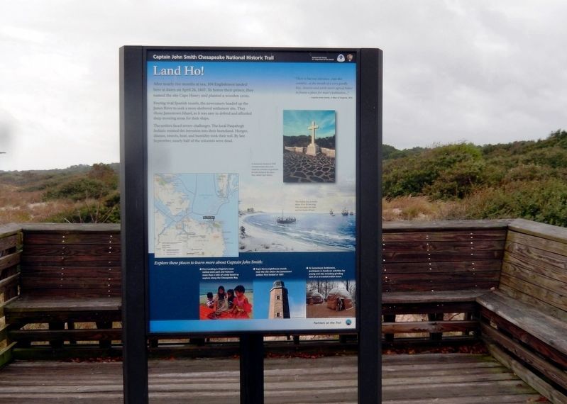
Land Ho!
Captain John Smith Chesapeake National Historic Trail
— National Park Service, U.S. Department of the Interior —
(panel 1)
After nearly five months at sea, 104 Englishmen landed here at dawn on April 26, 1607. To honor their prince, they named the site Cape Henry and planted a wooden cross.
Fearing rival Spanish vessels, the newcomers headed up the James River to seek a more sheltered settlement site. They chose Jamestown Island, as it was easy to defend and afforded deep mooring areas for their ships.
The settlers faced severe challenges. The local Paspahegh Indians resisted the intrusion into their homeland. Hunger, disease, insects, heat and humidity took their toll. By late September, nearly half of the colonists were dead.
"There is but one entrance...into this country...at the mouth of a very goodly bay...heaven and earth never agreed better to frame a place for man's habitation..."
-Captain John Smith, A Map of Virginia, 1612
(captions)
A memorial erected in 1935 commemorates the cross raised by colonists in gratitude for safe arrival at the place they called Cape Henry.
The shallop was probably about 20 to 30 feet long, with one mast, two sails, and two banks of oars.
(sidebar)
Explore these places to learn more about Captain John Smith:
• First Landing is Virginia’s most visited state park and features more than a mile of sandy beach to explore along the Chesapeake Bay.
• Cape Henry Lighthouse stands near the site where the Jamestown settlers first landed in 1607.
• At Jamestown Settlement, participate in hands-on activities for young and old, including grinding corn at a re-created Indian town.
(panel 2)
John Smith Explores the Chesapeake
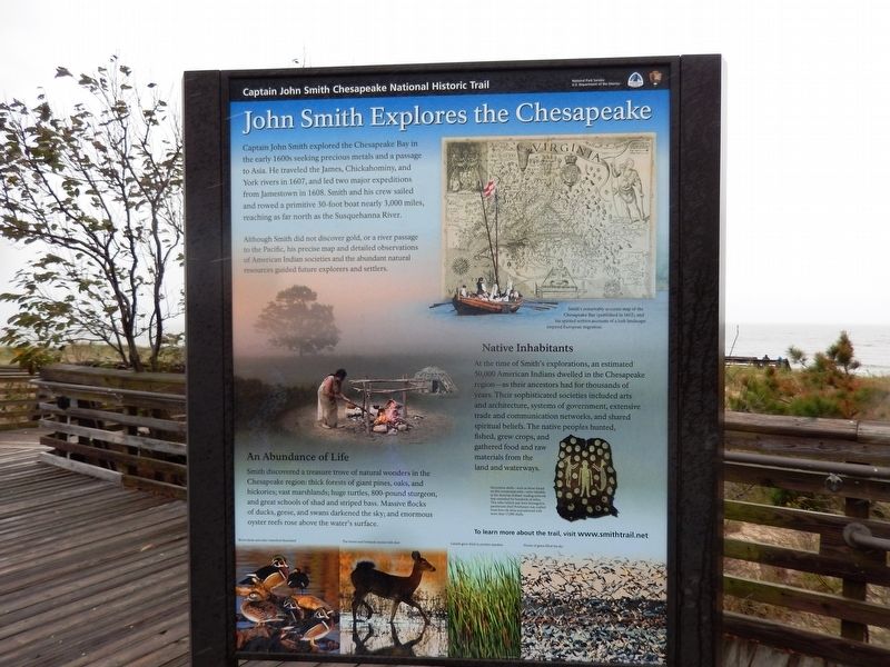
Captain John Smith explored the Chesapeake Bay in the early 1600s seeking precious metals and a passage to Asia. He traveled the James, Chickahominy, and York rivers in 1607, and led two major expeditions from Jamestown in 1608. Smith and his crew sailed and rowed a primitive 30-foot boat nearly 3,000 miles, reaching as far north as the Susquehanna River.
Although Smith did not discover gold, or a river passage to the Pacific, his precise map and detailed observations of American Indian societies and the abundant natural resources guided future explorers and settlers.
An Abundance of Life
Smith discovered a treasure trove of natural wonders in the Chesapeake region: thick forests of giant pines, oaks and hickories; vast marshlands; huge turtles, 800-pound sturgeon, and great schools of shad and striped bass. Massive flocks of ducks, geese, and swans darkened the sky; and enormous oyster reefs rose above the water's surface.
Native Inhabitants
At
the time of Smith’s exploration, an estimated 50,000 American Indians dwelled in the Chesapeake region—as their ancestors had for thousands of years. Their sophisticated societies included arts and architecture, systems of government, extensive trade and communication networks, and shared spiritual beliefs. The native peoples hunted, fished, grew crops, and gathered food and raw materials from the land and waterways.
(captions)
(upper right) Smith’s remarkably accurate map of the Chesapeake Bay (published in 1612), and his spirited written accounts of a lush landscape inspired European migration.
(lower right) Decorative shells—such as those found on this ceremonial robe—were valuable in the American Indian's tradeing network that extended for hundreds of miles. This robe (which may have belonged to paramount chief Powhatan) was crafted from elk skins and adorned with more than 17,000 shells.
(panel 3)
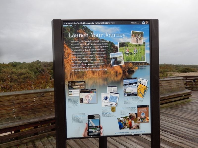
Launch Your Journey
Welcome to the Captain John Smith Chesapeake National Historic Trail. This site is one of many places along the trail where you can experience the area's rich heritage. Learn about Captain Smith's voyages, American Indian tribes and the Chesapeake of long ago. Explore diverse natural areas and view stunning scenery and abundant wildlife. Enjoy more trail adventures using the
Erected by National Park Service, U.S. Department of the Interior.
Topics and series. This historical marker is listed in these topic lists: Colonial Era • Exploration • Native Americans • Settlements & Settlers. In addition, it is included in the Captain John Smith Chesapeake National Historic Trail series list. A significant historical date for this entry is April 26, 1607.
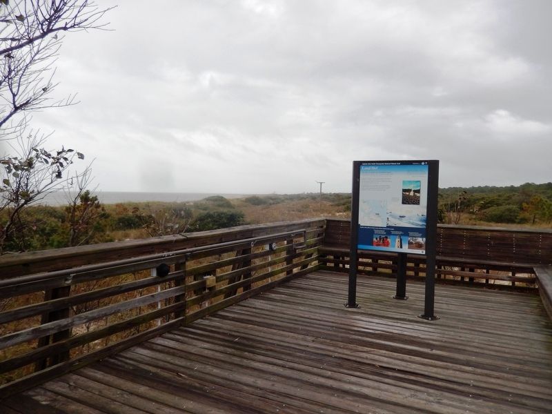
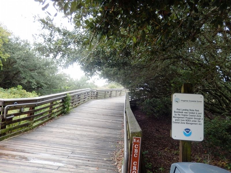
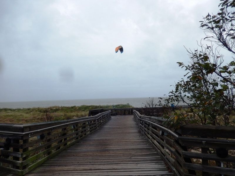
Location. 36° 55.135′ N, 76° 3.233′ W. Marker is in Virginia Beach, Virginia. It is in Cape Henry. Marker can be reached from Shore Drive (U.S. 60) near Cypress Swamp (Virginia Route 343), on the left when traveling east. The marker is on the grounds of the First Landing State Park. Touch for map. Marker is at or near this postal address: 2500 Shore Drive, Virginia Beach VA 23451, United States of America. Touch for directions.
Other nearby markers. At least 8 other markers are within 2 miles of this marker, measured as the crow flies. First Landing State Park (within shouting distance of this marker); The Virginia Company (within shouting distance of this marker); Civilian Conservation Corps Company 1371 (about 300 feet away, measured in a direct line); Seashore State Park (about 500 feet away); The Discovery (approx. 0.2 miles away); George Kendall (approx. 0.2 miles away); Chesapeake Indians (approx. 1˝ miles away); Meeting of Three Commanders (approx. 1.6 miles away). Touch for a list and map of all markers in Virginia Beach.
Credits. This page was last revised on February 1, 2023. It was originally submitted on October 7, 2016, by Don Morfe of Baltimore, Maryland. This page has been viewed 480 times since then and 41 times this year. Photos: 1, 2, 3, 4, 5, 6. submitted on October 7, 2016, by Don Morfe of Baltimore, Maryland. • Bernard Fisher was the editor who published this page.
