Burkesville in Cumberland County, Kentucky — The American South (East South Central)
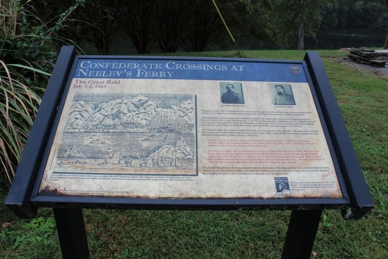
Confederate Crossings at Neeley's Ferry
The Great Raid
— July 1-2, 1863 —
The 1st Brigade, numbering 1,450 cavalrymen under Col. Basil Duke, crossed the Cumberland River here at Neeley's Ferry, and at Burkesville, Scott's Ferry, Amandaville, and Bakerton. Col. Adam R. Johnson commanded the regiments of the 2nd Brigade, numbering 1,000. For the most part, Johnson's Brigade crossed the Cumberland at McMillan's Ferry. Salt Lick Bend, and other points west of here.
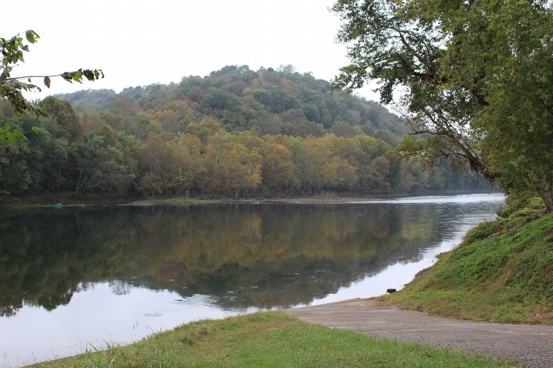
Due to heavy rains the river was out of its banks. In some places it was over one-half mile wide. Crossing the swollen river took Duke's men the better part of two days Curtis Burke, a member of Quirk's Scouts, described the scene at Neeley's Ferry in his diary:
"We had to make our horses swim as we did at Oby's river. We had to take our horses some distance above the regular entrance to the river, so that the swift current would not wash the horses too far below the landing on the other side.
We would unsaddle our horses, lead six or eight of them to the edge of the water, then let them loose, and the boys would get around them and driver them in (the river) with sticks, clods of earth, and rocks. If one (horse) started across, the others would follow, but most of the time we had to holler and pilt them a good deal before they would make the trip... Several canoe loads of the boys were over on the other side catching the horses as they crossed."
The Cumberland River ferries operated in the first half of the 20th century. Now, only McMillan's Ferry, which crosses the river at Turkey Neck Bend in Monroe County, remains in operation. It can be reached by traveling SR 100 to SR 214 between Burkesville and Tompkinsville.
Erected by Kentucky Heartland Civil War Trails Commission.
Topics and series. This historical marker is listed in these topic lists: War, US Civil • Waterways & Vessels. In addition, it is included in the John Hunt Morgan Heritage Trail in Kentucky series list. A significant historical date for this entry is July 1, 1863.
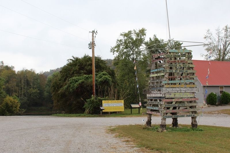
Location. 36° 44.817′ N, 85° 22.333′ W. Marker is in Burkesville, Kentucky, in Cumberland County. Marker is on Celina Road (Kentucky Route 61) 0.4 miles north of Cold Springs Road, on the right when traveling south. Marker is located at the boat ramp at Traces on the Cumberland Boat Storage facility. Touch for map. Marker is at or near this postal address: 2687 Celina Road, Burkesville KY 42717, United States of America. Touch for directions.
Other nearby markers. At least 8 other markers are within 3 miles of this marker, measured as the crow flies. Burkesville Ferry (approx. 2.7 miles away); The History of Cumberland County (approx. 2.9 miles away); Dedicated to Dr. Joseph Schickel (approx. 2.9 miles away); The Coe Family / The Coes of Cumberland County (approx. 3 miles away); Cumberland Countians War Memorial (approx. 3 miles away); Lincoln's Father Here (approx. 3 miles away); Raiders Entered Here (approx. 3 miles away); Morgan On To Ohio (approx. 3 miles away). Touch for a list and map of all markers in Burkesville.
Credits. This page was last revised on October 19, 2016. It was originally submitted on October 18, 2016, by Tom Bosse of Jefferson City, Tennessee. This page has been viewed 642 times since then and 82 times this year. Photos: 1, 2, 3. submitted on October 18, 2016, by Tom Bosse of Jefferson City, Tennessee. • Bernard Fisher was the editor who published this page.


