3 entries match your criteria.
Historical Markers in Ferryland, Newfoundland and Labrador
By Barry Swackhamer, June 23, 2014
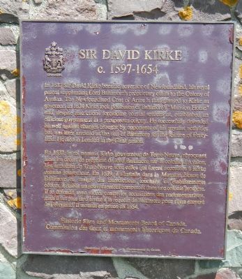
Sir David Kirke Marker
| Near Newfoundland and Labrador Route 10, on the right when traveling north. |
| On Newfoundland and Labrador Route 10, on the left when traveling north. |
| Near Newfoundland and Labrador Route 10, on the right when traveling north. |
May. 19, 2024