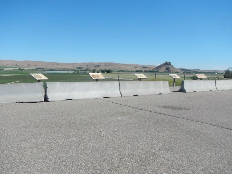
Overland emigration between 1840 and 1863 brought over 50,000 pioneers to Oregon. Seven miles west of Malheur Butte, weary Oregon Trail emigrants camped at the Malheur River crossing, taking advantage of local hot springs and the first good water . . . — — Map (db m107208) HM
About 18 September 1860, 26 survivors of the Utter disaster arrived south of here. Only 10 remained when an army relief expedition arrived 5 weeks later.
On September 9 & 10, in Idaho, the Elijah P. Utter wagon train suffered a two-day . . . — — Map (db m106943) HM
During the late 19th century thousands of Americans left farms, families and friends to trek the Oregon Trail toward new lives in the West. The trail was nearly 2,000 miles across prairies, mountains and parched deserts. Contrary to popular belief, . . . — — Map (db m106941) HM
Eager to save time on the Oregon Trail, emigrants often attempted shortcuts. Between 1845 and 1854, three wagon trains left this campsite seeking a cutoff to the Willamette Valley.
The Meek Cutoff of 1845
Frontiersman Stephen . . . — — Map (db m107076) HM
Before the discovery of gold along the banks of Jordan Creek on May 18, 1863, this arid region was the exclusive domain of American Indians, a few hardy explorers and Hudson's Bay Company fur traders. The prospect of gold quickly changed this . . . — — Map (db m106875) HM
Between 20 and 15 million years ago, the region from north-central Washington to northeastern California experienced a series of volcanic eruptions and basalt lava floods that covered thousands of square miles. These ancient lava floods often dammed . . . — — Map (db m107207) HM
Thin black lines indicate changes in relevance. Between each pair of lines entries are ordered geographically but all have the same relevance.
* Inflectional forms of words are their plurals, singulars, and possessives as well as gramatical tenses and similar variations.