3 entries match your criteria.
Entries Containing All of the Phrases «aroostook county» AND «maine»
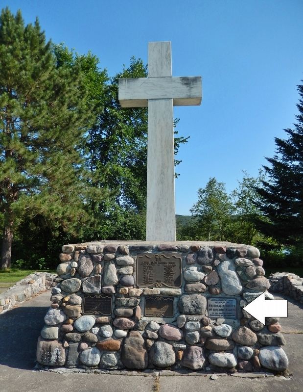
By Cosmos Mariner, August 1, 2019
Acadian Landing Site Marker
RANKED BY RELEVANCE
1 ► Maine, Aroostook County, Madawaska — Acadian Landing Site — Acadian Cross Historic Shrine — National Register of Historic Places —  |
| This property has been placed on the National Register of Historic Places by the United States Department of the Interior — — Map (db m148200) HM | |||
| 2 ► Maine, Aroostook County, Presque Isle — Maine Solar System Model — Scale: 1:93,000,000 — |
| You are part of Northern Maine’s Aroostook County 40-mile long scale model of the Solar System. At this scale, one mile along U.S. Route 1 equals the distance from the Earth to the Sun, known as an “astronomical unit”. The Sun is located . . . — — Map (db m58942) HM | |||
| 3 ► Maine, Aroostook County, Fort Kent — America's First Mile — U.S. Route 1 • Fort Kent, Maine — |
| (right panel) This site denotes the first mile of U. S. Route 1, designated on November 11, 1926. The first mile extends from the Fort Kent, Maine / Clair, New Brunswick international border to the Dube House - built in 1840, one of the . . . — — Map (db m137375) HM | |||
Thin black lines indicate changes in relevance. Between each pair of lines entries are ordered geographically but all have the same relevance.
* Inflectional forms of words are their plurals, singulars, and possessives as well as gramatical tenses and similar variations.
Nov. 12, 2026