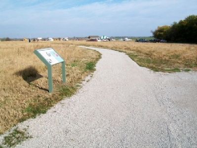
Bates County was formed in 1841. Many early settlers came from Kentucky, Virginia and Tennessee. The 1860 census listed a population of 6,765 with a slave population of 442. In 1862, the slave population had dropped greatly.
Most Bates . . . — — Map (db m60614) HM
In the 1860s, the vast, rolling tallgrass prairies of the Osage Plains stretched for miles. Maintained by periodic fires for approximately 5,000 years before European settlement, prairie once covered approximately 78 percent of Bates County, Mo. . . . — — Map (db m60613) HM
General Orders No. 11:
The Revenge of Depopulation
The building in front of you (401 Delaware Street) opened for business in the spring of 1860 as the Pacific House Hotel, one of Kansas City's most up-to-date hotels. During the war years, . . . — — Map (db m54013) HM
People have lived in the Leech Lake Area for over 10,000 years and artifacts have survived that tell us the story of their lives. Our Early Man is holding a tool made of siltstone, discovered by the Leech Lake Heritage Sites Program of the Leech . . . — — Map (db m237143) HM
World renowned mining and metallurgical engineer, eminent business executive, benefactor and loyal friend of Utah and its people.
Guided by an inspired vision, he applied and developed processes for the beneficiation of low grade porphyritic . . . — — Map (db m72780) HM
Historic Harmony Mission, a school for the Indians of Missouri, once stood east of Rich Hill, on the north bank of the Osage River, near the centuries-old camping sites of the Great and Little Osage tribes.
The mission was founded in 1821 by . . . — — Map (db m121349) HM
Side A
Financial center and shipping point, this prairie town was founded in 1855 as the seat of Vernon County, fertile farming and coal producing area. Col. D. C. Hunter, who laid out the town, named it for Nevada City, Calif. The county, . . . — — Map (db m44016) HM
By 1863 the Union Army’s inability to control Confederate Guerrilla activity in western Missouri exploded. On August 25, 1863, Union General Thomas Ewing issued Order No. 11 four days after Quantrill’s Raid on Lawrence, Kansas. Residents in Bates . . . — — Map (db m74091) HM
Most of the men of the First Kansas Colored Volunteer Infantry were escaped slaves. Many fled to Kansas from farms and towns in Missouri or Arkansas to find freedom. Some may have been "stolen" in Jayhawk raids. Others in the regiment were . . . — — Map (db m65049) HM
After the 1854 Kansas-Nebraska Act was passed, pro-slavery Missourians and free-state Kansans fought over whether Kansas should enter the Union as a slave or free state. The fighting was so intense that the conflict was called "Bleeding . . . — — Map (db m60584) HM
Thin black lines indicate changes in relevance. Between each pair of lines entries are ordered geographically but all have the same relevance.
* Inflectional forms of words are their plurals, singulars, and possessives as well as gramatical tenses and similar variations.