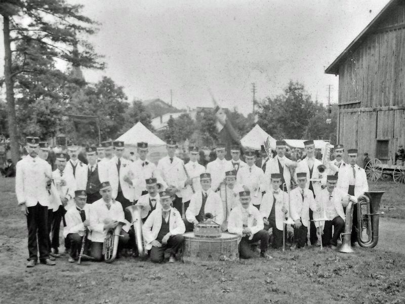
On Murray Street just west of George Street North, on the right when traveling west.
Central Park was an ideal site for a military training area with its expansive grounds and location — accessible by foot, horse and wagon. A drill shed was built in 1867 and used for band practices, dances and military activities. Drill sheds were . . . — — Map (db m260795) HM
On Murray Street just east of George Street North, on the right when traveling east.
Riding a wave of national pride and military enthusiasm following the South African War (1899-1902), the Canadian government embarked on a major reform of the nation's defence system. The new programme included an expanded and upgraded . . . — — Map (db m260700) HM
On George Street North just south of McDonnel Street, on the right when traveling south.
The Citizens' War Memorial, in memory of those who fell in three wars, was designed by Toronto architect and sculptor Walter Seymour Allward (1876-1955), with the help of the English sculptor Gilbert Bayes (1872-1953). It was commissioned in 1921 . . . — — Map (db m260798) HM