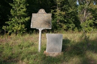
On U.S. 84 at County Road 22, on the right when traveling west on U.S. 84.
Sept. 1, 1813
Creek Indian War. 1813-14
Part of War of 1812. British used Pensacola as base to arm, incite Indians against U.S..
Prophet Francis led Indians in this raid on Kimbell home. They killed and scalped 12 of 14 (two survivors . . . — — Map (db m47635) HM
Fort Sinquefield
Kimbell - James Massacre
Creek War 1812-13
Erected by Clarke County School Children 1931
Lest we forget Hayden and his dogs. — — Map (db m115627) HM
On Madison Road (County Road 33) at Tennessee Road, on the right when traveling north on Madison Road.
On November 12, 1813, the Canoe Fight, one of the key assaults of the Creek War, took place nearby at the mouth of Randon’s Creek where it flows into the Alabama River. Following the Fort Mims Massacre in August, small bands of Creek warriors . . . — — Map (db m101574) HM