THE HISTORICAL
MARKER DATABASE
“Bite-Size Bits of Local, National, and Global History”


2 entries match your criteria.  


Related Historical Markers

 
By Cosmos Mariner, July 17, 2025
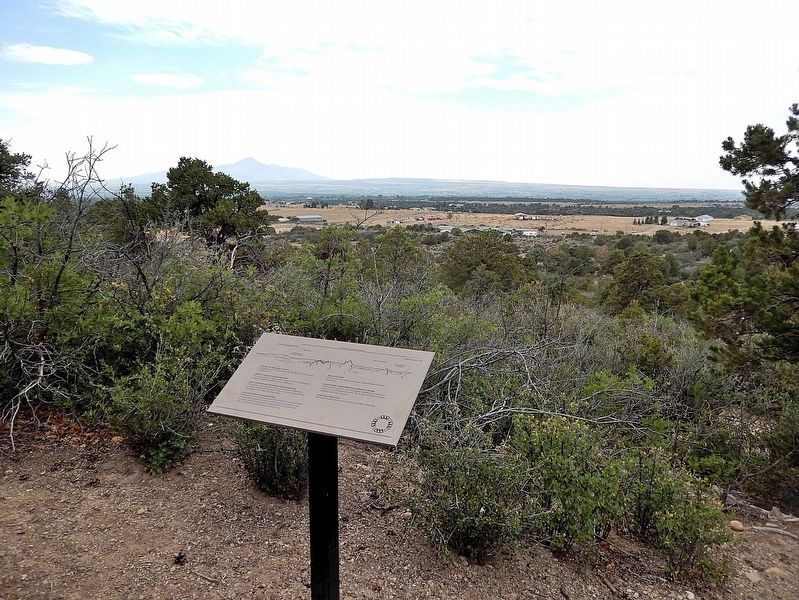
Great Sage Plain, Colorado and Utah Marker
SHOWN IN SOURCE-SPECIFIED ORDER
1 ► Colorado, Montezuma County, Dolores — Great Sage Plain, Colorado and Utah —
Near State Highway 184 at milepost 7, on the right when traveling west.
Sleeping Ute Mountain, Colorado The Sleeping Ute is surrounded by the 550,000 acre Ute Mountain Ute Reservation. McElmo Canyon, Colorado and Utah This canyon has been the main travel route between the Montezuma Valley and southeast Utah . . . — — Map (db m290495) HM
2 ► Colorado, Montezuma County, Pleasant View — Lowry Ruin — Lowry Pueblo National Historic Landmark — Canyons of the Ancients National Monument —
On County Road 7.25 0.3 miles south of County Road CC.
Has been designated a Registered National Historic Landmark Under the provisions of the Historic Sites Act of August 21, 1935 this site possesses exceptional value in commemorating and illustrating the History of the United States. . . . — — Map (db m283800) HM


CeraNet Cloud Computing sponsors the Historical Marker Database.
This website earns income from purchases you make after using our links to Amazon.com. We appreciate your support.
Paid Advertisement
Nov. 11, 2026
