THE HISTORICAL
MARKER DATABASE
“Bite-Size Bits of Local, National, and Global History”


2 entries match your criteria.  


Related Historical Markers

To better understand the relationship, study each marker in the order shown.
 
By G.W.Bartlett, September 20, 2026
Capt. Edward Hutchinson and His Company Marker
SHOWN IN SOURCE-SPECIFIED ORDER
1 ► Massachusetts, Worcester County, New Braintree — Capt. Edward Hutchinson and His Company —
On West Road 0.3 miles north of Unitas Road, on the right when traveling north.
Somewhere within 1/2 mile along the base of this hill Capt. Edward Hutchinson and his company were attacked by Indians lying in ambush Aug. 2 1675, and he and more than one half of his men slain or wounded. — — Map (db m311496) HM WM
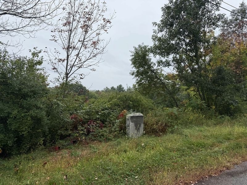
2 ► Massachusetts, Worcester County, West Brookfield, Quaboag Plantation — The Fortified House —
On Foster Hill Road just west of George Allen Road, on the left when traveling west.
Here stood the fortified house besieged in King Philip’s War Aug. 2-4 1675 — — Map (db m311571) HM WM


CeraNet Cloud Computing sponsors the Historical Marker Database.
This website earns income from purchases you make after using our links to Amazon.com. We appreciate your support.
Paid Advertisement
Nov. 11, 2026
