New Braintree in Worcester County, Massachusetts — The American Northeast (New England)
Capt. Edward Hutchinson and His Company
Photographed by G.W.Bartlett, September 20, 2026
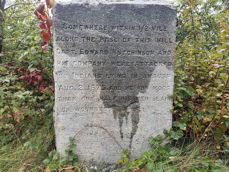
1. Capt. Hutchinson and His Company Marker
Somewhere within 1/2 mile along the base of this hill Capt. Edward Hutchinson and his company were attacked by Indians lying in ambush Aug. 2 1675, and he and more than one half of his men slain or wounded.
Topics and series. This memorial is listed in these topic lists: Colonial Era • Settlements & Settlers • Wars, US Indian. In addition, it is included in the King Philip's War 1675-1676 series list. A significant historical date for this entry is August 2, 1675.
Location. 42° 19.664′ N, 72° 9.087′ W. Memorial is in New Braintree, Massachusetts, in Worcester County. It is on West Road 0.3 miles north of Unitas Road, on the right when traveling north. Touch for map. Memorial is at or near this postal address: 1101 West Road, New Braintree MA 01531, United States of America. Touch for directions.

Regionally, this memorial is in the Quiet Corner and in Greater Worcester. It is also in the American Northeast and in New England. Globally, it is in North America, the Western Hemisphere, the Western World, and the Anglosphere. Historically, it finds itself in what was once one of the original Thirteen Colonies.
this page online
Other nearby markers. At least 8 other markers are within 3 miles of this marker, measured as the crow flies: Sarah P. Rowlandson (approx. 1.4 miles away); Entertainment & Industry (approx. 1½ miles away); Education – Business (approx. 1½ miles away); New Braintree Veterans Monument (approx. 1½ miles away); Battle of New Braintree (approx. 1½ miles away); Wheeler’s Surprise (approx. 2 miles away); Brig. Gen. Timothy Ruggles (approx. 2.8 miles away); Hardwick Civil War Monument (approx. 2.9 miles away). Touch for a list and map of all markers in New Braintree.
More about this memorial. The marker is on the west side of Winimusset Brook, overlooking the brook in the ravine. The ambush is currently theorized to have taken place while traveling up the east bank through a narrow pass between the flooded brook and the steep ridge to the east.
Regarding Capt. Edward Hutchinson and His Company. This ambush is commonly known as Wheeler's Surprise, because Capt. Wheeler wrote the history, despite Capt. Hutchinson leading the troops that day. Capt. Hutchinson died of his wounds on August 19, 1675 in Marlborough, Middlesex County, MA.
List
Photographed by G.W.Bartlett, September 20, 2026
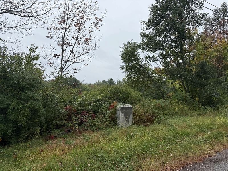
2. Capt. Edward Hutchinson and His Company Marker
Capt. Edward Hutchinson* of Boston, mortally wounded · Capt. Thomas Wheeler of Concord, wounded · Lieut. Simon Davis, Concord · Corp. John French of Billerica, wounded · Timothy Farley Billerica, killed · George Farley, Billerica · John Kitteridg, Billerica · James Patterson, Billerica · James Richardson of Chelmsford · John Fiske, Chelmsford · Edward Colburn, Chelmsford, killed · John Waldo, Chelmsford, wounded · Thomas Wheeler, Jr., of Concord, wounded · Samuel Smedley, Concord, killed · Henry Young, Concord, mortally wounded · Benjamin Graves, Concord · John Buttrick, Concord · George Hayward, Concord · Simeon Haywood, Concord · John Hartwell, Concord · Zechariah Phillips of Boston, killed · Sydrach Hapgood of Sudbury, killed · John Bates of (unknown) · plus Ephraim Curtis, of Sudbury.
Brookfield Men: Sergt. Jon Ayres, Sergt. Wm. Prichard and Corp. Richard Coy were killed in the abuscade; Wm. Prichard, Jr. was killed at his father's house. James Hovey also killed.
*Capt. Hutchinson was son of Anne Hutchinson known for her role in the Antinomian controversy and expulsion from the Massachusetts Bay Colony.
Related markers.
Photographed by G.W.Bartlett, September 20, 2026
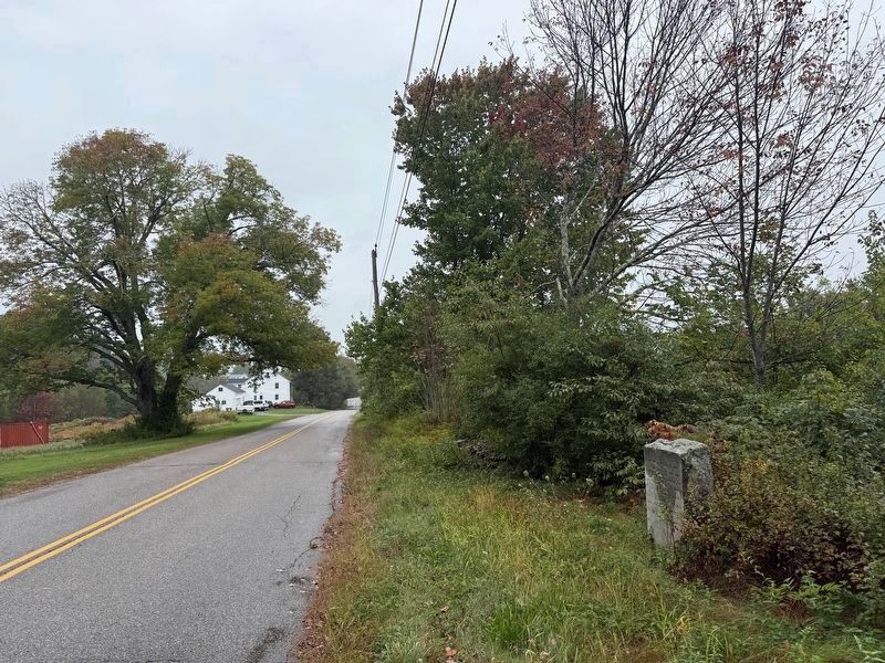
3. Capt. Edward Hutchinson and His Company Were Attacked Marker
View northbound from marker on West Road looking towards nearby 1101 West Road.
Also see . . .
1. Wheeler's Surprise (Wikipedia).
Wheeler's Surprise, and the ensuing siege of Brookfield, was a battle between Nipmuc Indians under Muttawmp, and the English colonists of the Massachusetts Bay Colony under the command of Thomas Wheeler and Captain Edward Hutchinson, in August 1675 during King Philip's War.(Submitted on September 21, 2026, by G.W.Bartlett of Hingham, Massachusetts.)
2. Quaboag 350 - The 350th Anniversary of Quaboag Plantation.
As part of the 350th celebration of the settlement of the Quaboag Plantation, the town of New Braintree’s 350th Anniversary Committee held a series of Wheeler’s Surprise events. This included a reenactment of the ambush, a reenactors camp site, a video tour of the three possible locations of the battle, and a talk by Robert W. Wilder on the ambush.(Submitted on September 21, 2026.)
3. Wheeler's Surprise - Robert Wilder of Brookfield.
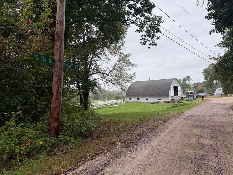
Robert W. Wilder, of Quaboag Research, shares conclusions in 2009 from his work to identify the actual location of the historic ambush known(Submitted on September 21, 2026, by G.W.Bartlett of Hingham, Massachusetts.)as Wheeler's Surprise. The talk is part of the lead-up to the Quaboag 350 celebration (1660-2010).Photographed by G.W.Bartlett, September 20, 20264. Slein Road
Possible Ambush Location NearbyRobert Wilder of Quaboag Research concluded that the location of the ambush was most likely along a path opposite the stone marker on the east bank of Winimusset Brook near the junction of Stein Road and McKay Road.
4. Capt. Thomas Wheeler's Narrative - History of North Brookfield Massachusetts.
A True Narrative Of the Lord's Providences in various dispensations towards Captain Edward Hutchinson of Boston and my self, and those that went with us into the Nipmuck Country, and also to Quabaug, alias Brookfield.(Submitted on September 21, 2026, by G.W.Bartlett of Hingham, Massachusetts.)
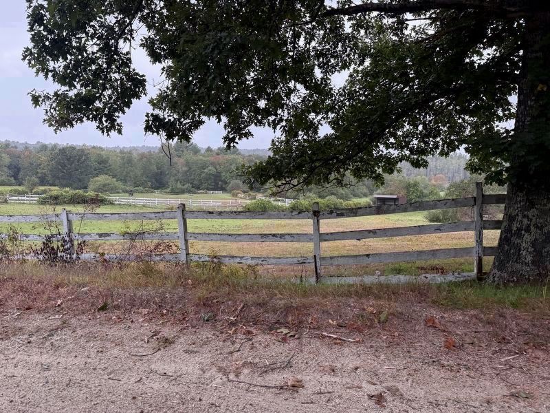
Photographed by G.W.Bartlett, September 20, 2026
5. Race Track at Site Mentioned by Robert Wilder
Robert Wilder, of Quaboag Research, believes the construction of this horse track using fill from the hillside near 325 McKay Road, likely disturbed or removed some of the archaeological evidence of the escape route from the ambush.
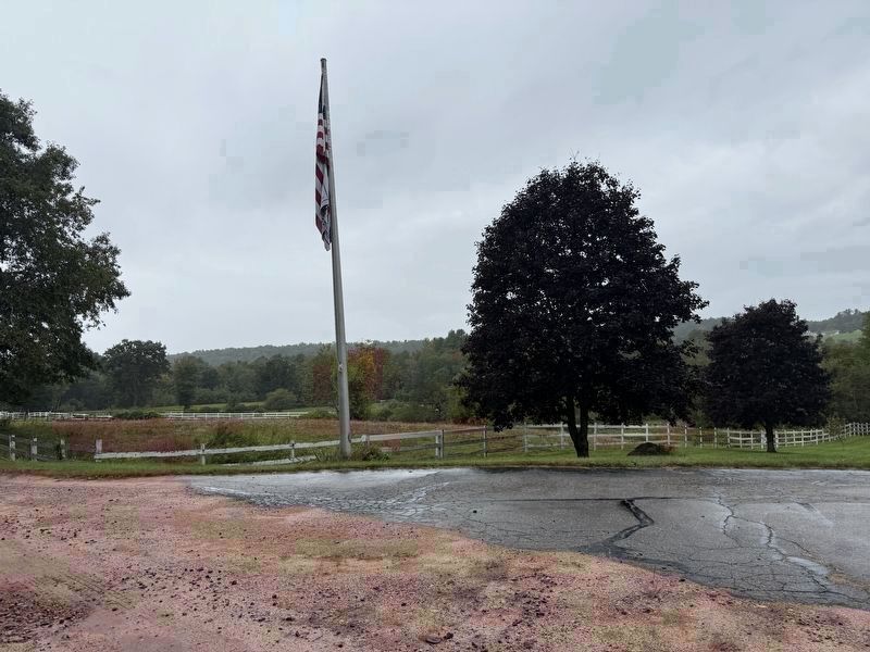
Photographed by G.W.Bartlett, September 20, 2026
6. McKay Road Nearby Possible Ambush Location
A large flagpole is visible just north of the location Robert Wilder, of Quaboag Research, has concluded is the likely location of Wheeler's Surprise. A discussion of his conclusions presented to Quaboag Historical Society is included in links. (buildings up on the ridge in the background to right are on the west side of Winimusset Brook at 1241 West Road about .3 miles north of the stone marker on West Road).
Credits. This page was last revised on September 25, 2026. It was originally submitted on September 20, 2026, by G.W.Bartlett of Hingham, Massachusetts. This page has been viewed 20 times since then. Photos: 1, 2, 3, 4, 5, 6. submitted on September 20, 2026, by G.W.Bartlett of Hingham, Massachusetts. • Michael Herrick was the editor who published this page.
