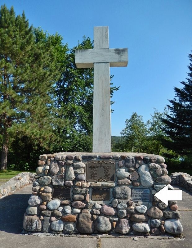
On U.S. 1 0.4 miles south of Perkins Road, on the left when traveling north.
You are part of Northern Maine’s Aroostook County 40-mile long scale model of the Solar System. At this scale, one mile along U.S. Route 1 equals the distance from the Earth to the Sun, known as an “astronomical unit”. The Sun is located . . . — — Map (db m58942) HM
On West Main Street (U.S. 1) at Clair-Fort Kent International Bridge, on the right when traveling west on West Main Street.
(right panel) This site denotes the first mile of U. S. Route 1, designated on November 11, 1926. The first mile extends from the Fort Kent, Maine / Clair, New Brunswick international border to the Dube House - built in 1840, one of the . . . — — Map (db m137375) HM
Thin black lines indicate changes in relevance. Between each pair of lines entries are ordered geographically but all have the same relevance.
* Inflectional forms of words are their plurals, singulars, and possessives as well as gramatical tenses and similar variations.