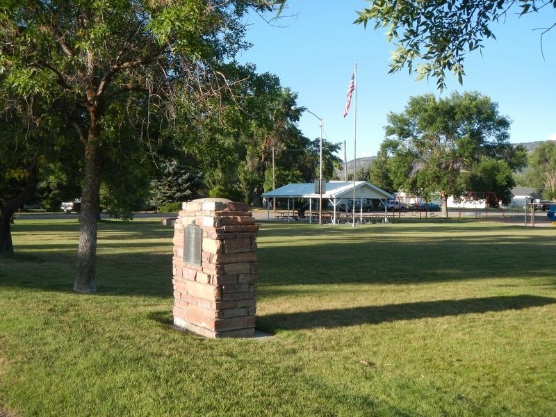
On Main Street (State Highway 34) near 2nd Street North, on the left when traveling south.
Two miles east is located the dam and headworks of the canal system. Incorporation was effected Feb. 4, 1899 for the purpose of irrigating this valley. First filing on Bear River to supply the canal was Mar. 4, 1897. To perfect the right it was . . . — — Map (db m140280) HM
Near Pioneer Drive near railroad tracks, on the left when traveling east.
This spot of ground known as the Pioneer Cedar Cemetery was used from the time of the founding of Soda Springs "Upper Town" in 1871 to 1906. It contains over 42 marked graves and as many whose identification are unknown. Each plot was selected by . . . — — Map (db m140251) HM
On State Highway 34 at State Line Road, on the right when traveling west on State Highway 34.
Chesterfield
Chesterfield established in 1879, is an early Mormon settlement on the Oregon Trail.
The town features 23 historic brick buildings built between 1884 and 1904, including the old Chesterfield store.
Chesterfield is on the . . . — — Map (db m109912) HM
Near East 1st Street South near South Main Street.
On February 7, 1951, the State of Idaho Department of Civil Defense set up the GOC, a Citizen Volunteer Auxiliary with the United States Air Force.
In October, 1951, Soda Springs and Caribou County Ground Observers met with Major T.A. Burda, Air . . . — — Map (db m106250) HM
On N Main St (Idaho Route 34 at milepost 46) at Grace Dam Road, on the right when traveling north on N Main St.
Approximately two miles west of here, a unique bridge built in the 1920s spanned the 11-foot-diameter flowline which crossed the fertile farmland west of the Grace Dam.
Turner, a small agricultural community located west of the town of . . . — — Map (db m279030) HM
On Wayan Loop Road (State Highway 34) near Call Lane, on the right when traveling west.
(left panel:)
Settling Grays Lake Valley
With determination and spirit
Cattle, sheep and crops
At first cattlemen found the luxurious waist-high grass of Grays Lake Valley perfect for raising cattle. The . . . — — Map (db m106160) HM
Thin black lines indicate changes in relevance. Between each pair of lines entries are ordered geographically but all have the same relevance.
* Inflectional forms of words are their plurals, singulars, and possessives as well as gramatical tenses and similar variations.