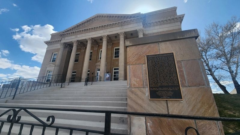
On October 31, 1864, the United States declared Nevada a State of the Union. The first county seat was located in Unionville, Nevada. Officials did not build a permanent courthouse. Nevada officials moved the seat of Humboldt County to the city . . . — — Map (db m269760) HM
Near South Bridge Street just north of West Fifth Street, on the right when traveling north.
Dedicated on the Pilgrimage to ‘Mucca on 3 Rabia I, 1380 A.H. (Mohammedan Calendar). Brought by caravan from the sea at Crescent City, California, to dedicate the opening of the new trade route from Winnemucca to the sea and to affirm the . . . — — Map (db m170925) HM
On Baud Street at East 5th Street, on the right when traveling north on Baud Street.
The oldest known masonic document, the Halliwell Manuscript (or Regius Poem), dates to around 1390 and hints at the craft's ancient roots. freemasonry stands as the world's oldest and largest fraternal order. On june 24, 1717, the Grand Lodge of . . . — — Map (db m283954) HM
Near Central Avenue at Western Avenue, on the right when traveling south.
Here was a key point on Nevada's earliest road, the famed Humboldt Trail that brought 165,000 imigrants west in the 1840's and 50's. Travelers named this rich valley the Big Meadows and stopped for water and grass before continuing south to cross . . . — — Map (db m67898) HM
On Museum Avenue near Maple Avenue, on the left when traveling west.
In 1868 the Central Pacific Railroad (CPR) was completed from Sacramento to Winnemucca and the first locomotive, the Champion, traveled to Winnemucca. On May 10, 1869 the CPR and the Union Pacific Railroad (UPR) were joined at Promontory, Utah. On . . . — — Map (db m141451) HM
On Main Street at Genoa Lane (Nevada Route 206), on the right when traveling north on Main Street.
Panel One:
Utah Territory
The area now making up the state of Nevada was acquired by the United States after the Mexican-American War. This newly acquired land was generally labeled as unorganized territory until 1850. The State of . . . — — Map (db m227650) HM
Thin black lines indicate changes in relevance. Between each pair of lines entries are ordered geographically but all have the same relevance.
* Inflectional forms of words are their plurals, singulars, and possessives as well as gramatical tenses and similar variations.