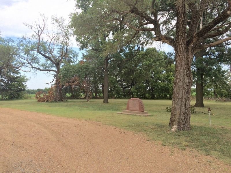
On West 20th Street South at South Anson Road, on the right when traveling east on West 20th Street South.
Between 1867 and 1876 more than two million Texas Longhorns were driven North past here to Kansas railroad towns for shipment East. At Slate Creek Crossing 5 miles northeast a trading post, 1869, was the first building in Sumner County. Over this . . . — — Map (db m96430) HM
Near Interstate 35 (Interstate 35 at milepost 26), in the median.
East Side
Wheat Capital of the World
Tour the Turnpike
Belle Plaine
Like waves across an ocean of grain, wind ripples through acre after acre of wheat in Sumner County. This area produces more hard red winter wheat . . . — — Map (db m97665) HM
On South Main Street (U.S. 81) at East 1st Avenue, on the left when traveling north on South Main Street.
Caldwell "The Border Queen"
Founded 1871, incorporated 1879 by a town company of investors from Wichita and named for U. S. Sen. Alexander Caldwell. The original townsite was north of Ave. F, the Kansas state line prior to 1876. One of the . . . — — Map (db m96545) HM
On South Hoover Road (U.S. 177) at Main Street, on the right when traveling south on South Hoover Road.
Front
The "Real" Cherokee Strip
Under treaties made in 1828 and 1833 with the Federal Government, the Cherokee Tribe of Indians exchanged their homelands in the southeastern part of the United States for land in the . . . — — Map (db m96599) HM
The Chisholm Trail probably began as a buffalo migration route, linking summer pastures in the Central Plains to winter pastures in Texas. American Indians followed the buffalo and shared the route with U.S. explorers, who mapped it in the 1850s. In . . . — — Map (db m96433) HM
Thin black lines indicate changes in relevance. Between each pair of lines entries are ordered geographically but all have the same relevance.
* Inflectional forms of words are their plurals, singulars, and possessives as well as gramatical tenses and similar variations.