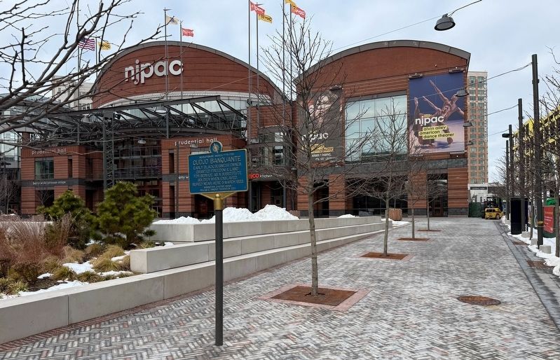
Revolutionary America 1775-1783 (NSDAR & WGPF) Historical Markers
For markers erected under the National Society Daughters of the American Revolution (DAR) and William G. Pomeroy Foundation's United States Semiquincentennial marker program running from 2022-2027. The program commemorates points of interest significant to Revolutionary America, with the focus on 1/ sites that have not previously been interpreted or marked and 2/ celebrating stories of underrepresented/lesser known Patriots and their contributions to the Revolution. The markers are blue with buff trim and lettering as an ohmage to the uniform colors of Washington's soldiers during the war. The Pomeroy Foundation provides funding and local NSDAR chapters are responsible for selecting and submitting qualifying sites and topics, with a target installation number of 250 markers.
On Center Street at Mulberry Street, on the right when traveling west on Center Street.
Early Black business owner granted freedom & land for service as a substitute soldier when enslaved. Buried near here 5 March 1823. — — Map (db m291168) HM
On Lake James State Park Road 0.4 miles east of Rock Hill Burke Street, on the right when traveling east.
Patriots William Fullwood Jr, John Gibbs & Lawrence Unger buried here btwn 1840 & 1851. Soldiers who fought "to guard the Tree of Liberty." — — Map (db m285946) HM
On Penn Avenue 0.2 miles south of Township Line Road, on the left when traveling north.
Daughters of the American Revolution
1730-1820
Home of Lt. Colonel in Pennsylvania militia. Fought at battles of Germantown and Brandywine in 1777.
Towamencin Chapter NSDAR
William G. Pomeroy 2025 — — Map (db m295472) HM WM
On Millstone Landing Road at Purrysburg Road (South Carolina Road S-27-34), on the right when traveling east on Millstone Landing Road.
On April 29, 1779, British forces under Maj. Gen. Prevost fought patriots, launching British campaign from Purrysburg to Charleston, SC. — — Map (db m301321) HM
On Wagners Way 0.1 miles north of Iron Bridge Road (Route 10), on the left when traveling north.
Virginia troops pivotal in Maj. Gen. Greene's Carolina Campaign trained here, 1780-1781, in harsh conditions similar to Valley Forge. — — Map (db m313482) HM
In 1776, county officials took
oath of fidelity to virginia.
Provided men, food & supplies
during ficht for independence
despite threat of privateers. — — Map (db m299678) HM