2 entries match your criteria.
Related Historical Markers
By William Fischer, Jr., September 12, 2010
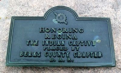
Regina Leininger D.A.R. Marker
SHOWN IN SOURCE-SPECIFIED ORDER
| | . . . — — Map (db m157523) HM |
| On Hanover Street (Pennsylvania Route 34), on the right when traveling south. |
| | Before the erection of Cumberland County - 1750 - this site was the intersection of the Indian trail leading from mountain to mountain across Groghan's Gap westward.
With the laying out of Carlisle in 1751 the square became the center of the . . . — — Map (db m15866) HM |
May. 23, 2024