3 entries match your criteria.
Related Historical Markers
By Cosmos Mariner, October 3, 2023
Snickersville Turnpike Marker (north side)
SHOWN IN SOURCE-SPECIFIED ORDER
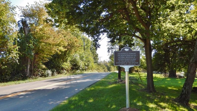
| On Snickersville Turnpike (Virginia Route 734) just south of Whitehall Estate Lane, on the right when traveling south. |
| | has been placed on the National Register of Historic Places in 2022 by the United States Department of the Interior — — Map (db m233959) HM |
| On Snickersville Turnpike (Virginia Route 734) at Clayton Hall Road (Virginia Route 760), on the right when traveling east on Snickersville Turnpike. |
| | Originally an Iroquois hunting trail, it became by 1786 the first recorded operating turnpike in America, praised by Thomas Jefferson. In 1810 the Virginia Assembly chartered the Snickers Gap Turnpike Company, authorizing three toll gates between . . . — — Map (db m157713) HM |
| On Snickersville Turnpike (Scenic Virginia Route 734) at Aldie Road (Virginia Route 804), on the right when traveling west on Snickersville Turnpike. |
| | Originally an Iroquois hunting trail, it became by 1786 the first recorded operating turnpike in America, praised by Thomas Jefferson. In 1810 the Virginia Assembly chartered the Snickers Gap Turnpike Company, authorizing three toll gates between . . . — — Map (db m154714) HM |
May. 28, 2024