3 entries match your criteria.
Related Historical Markers
Several identical markers can be found around Downtown Providence.
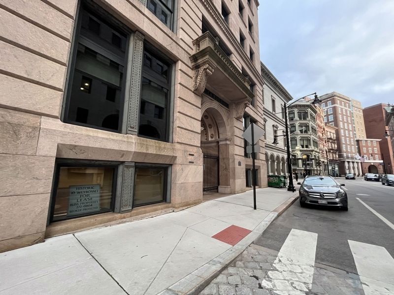
By By Devry Becker Jones (CC0), May 4, 2023
Hurricane and Flood of September 21, 1938 Marker
SHOWN IN SOURCE-SPECIFIED ORDER
| On Weybosset Street north of Post Office Court, on the right when traveling north. |
| | During the hurricane and flood of September 21, 1938 the waters rose to this level. — — Map (db m222617) HM |
| On Fountain Street (U.S. 1) at Clemence Street, on the left when traveling north on Fountain Street. |
| | During the hurricane and flood of September 21, 1938 the waters rose to this level. — — Map (db m251916) HM |
| On Fountain Street (U.S. 1) just south of Union Street, on the right when traveling north. |
| | During the hurricane and flood of September 21, 1938 the waters rose to this level — — Map (db m151642) HM |
Oct. 19, 2026
