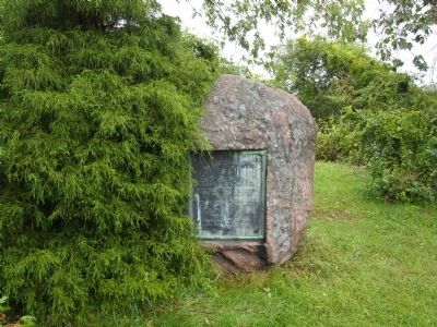
On Old Providence Road at Barneyville Road, on the left when traveling east on Old Providence Road.
Near this spot stood the John Myles Garrison House. The place of meeting of the troops of Massachusetts Bay and Plymouth colonies.
Commanded by
Majors Thomas Savage and James Cudworth, who marched to the relief of Swansea at the opening of . . . — — Map (db m299489) HM WM
On Child Street (Rhode Island Route 103) at Hugh Cole Road, on the right when traveling east on Child Street.
The town of Warren was first settled by people from the Pokanoket Tribe, later known as the Wampanoag. The Pokanoket controlled the land from Plymouth to the eastern shores of Narragansett Bay. In 1620, “Osamequin”, which translates as “Yellow . . . — — Map (db m301430) HM
Near Asylum Road 0.3 miles west of Cole School Road, on the left when traveling north.
In memory of Hugh Cole. Born London, England, 1627. Died Swansea, Mass, 1699. An honorable and useful citizen of Plymouth Colony. Many years a representative of Swansea, Mass.
A sergeant in King Philip's War, 1675. An esteemed friend of . . . — — Map (db m304527) HM