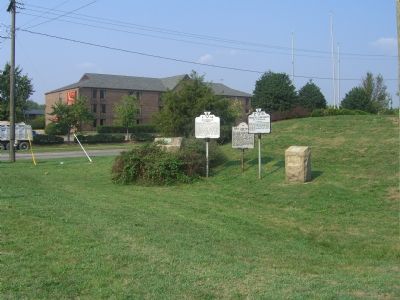
On Richmond Highway (U.S. 1) at Annapolis Way, on the right when traveling south on Richmond Highway. Reported permanently removed.
Captain John Smith explored this region in 1608. The town of Occoquan began with the opening of a tobacco warehouse on the shore of the Occoquan River in 1734. Occoquan grew as the focus of the commercial and manufacturing activities of John . . . — — Map (db m2337) HM
On Jefferson Davis Highway near Pembroke-Fairview Road (Route 115), on the right when traveling east.
Zero Milestone
Jefferson Davis Highway
Fairview, Ky. - Biloxi, Miss.
Erected 1930 by
United Daughters of the Confederacy
Jefferson Davis
Born June 3, 1808
in Christian, now Todd Co. KY.
Died December 6, 1889
in New Orleans, . . . — — Map (db m3034) HM
On Washington Highway (U.S. 1) 0.3 miles south of Oxford Road, on the right when traveling south.
The Marquis de Lafayette and his outnumbered colonial troops abandoned Richmond on 27 May 1781 to avoid Gen. Charles Cornwallis's approaching forces. Lafayette marched north from Richmond through Hanover County and likely crossed the nearby North . . . — — Map (db m9212) HM
Jefferson Davis
West Point Graduate
Class of 1828
* * *
Services:
Indian Wars 1829- 1835
Member of Congress 1845-'46
Colonel U.S. Army
Hero of Buena Vista and Monterey
Secretary of War 1853-'57
Senator from Mississippi . . . — — Map (db m9645) HM
On Irwinville Highway (Georgia Route 32) at Jeff Davis Park Road, on the right when traveling west on Irwinville Highway.
On the night of May 9, 1865, Jefferson Davis, with his family and a small escort, enroute south to avoid a screen of Union cavalry attempting to intercept him, reached the site of the present Jefferson Davis Memorial State Park (1 mile north) and . . . — — Map (db m40345) HM
On Broad Street (U.S. 278) at Monument Street, on the right when traveling west on Broad Street.
This County, created by an act of the Legislature Dec. 24, 1825, is named for Colonel Benjamin Taliaferro, Revolutionary soldier in Lee's Legion and a member of Congress from 1799 to 1802.
In this city stands Liberty Hall, now a State Shrine, . . . — — Map (db m15236) HM
On Richmond Highway (U.S. 1) at Harwood Street, on the right when traveling north on Richmond Highway. Reported missing.
This tree marks the site of Battery 17 of the inner defenses of Richmond, 1862-1865, and
is planted in soil taken from battlefields. A memorial to Confederate soldiers. — — Map (db m270939) HM WM
Jefferson Davis, “Father of National Highways,” as Secretary of War 1853-57 sponsored the importation of 33 camels for transporting military supplies to the west coast. The camel trail survey ran from San Antonio, Texas to Fort Tejon which marks the . . . — — Map (db m32823) HM