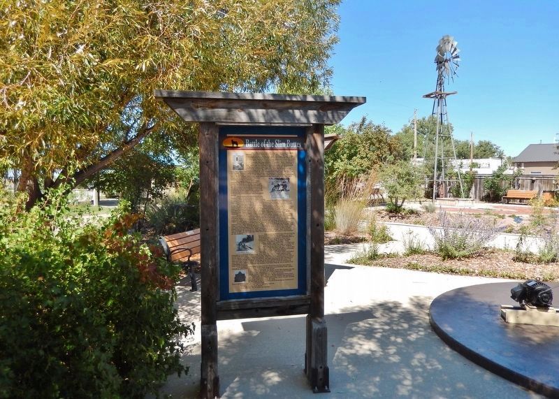
Near Theodore Roosevelt Expressway (CanAm Highway) (U.S. 85) just south of Connel Street (State Highway 20), on the left when traveling north.
After the battle of the Little Big Horn on June 25, 1876, General Terry and General Crook joined forces for the purpose of trying to locate and crush the Indian forces. They separated when they reached the mouth of Powder River in Montana and . . . — — Map (db m303696) HM
On South Dakota Route 20 1.5 miles west of Route 79, on the left when traveling west.
Following the disastrous battles of the Rosebud and Little Big Horn (Custer) in Montana in June, 1876, the Sioux, save Gall and Sitting Bull with 400 lodges who went to Canada and Crazy Horse and his band, in the main, started to drift back to . . . — — Map (db m183413) HM WM