Battle of the Slim Buttes
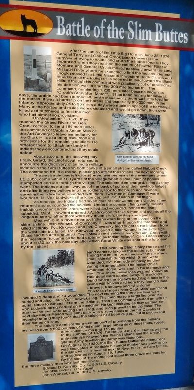
After the battle of the Little Big Horn on June 25, 1876, General Terry and General Crook joined forces for the purpose of trying to locate and crush the Indian forces. They separated when they reached the mouth of Powder River in Montana and General Crook moved eastward toward the Little Missouri River where he expected to find the Indians. General Crook crossed the Little Missouri in western North Dakota and found that all the Indian trails seemed to lead toward the Black Hills. Although his command was practically out of provisions, his decision was to start the 200 mile trip south. The command, numbering 1,260 men, later became known as "Crook's Starvation March". It had been raining for several days, the prairie had been burned off, and consequently there was little feed for the horses. It was a hardship on the horses and especially the 200 men in the Infantry. Approximately 25 to 35 miles a day were made in spite of the hardships. Many of the horses and mules were exhausted and would go down, then were killed and butchered to feed the men; who had almost no provisions.
On September 7, 1876, they reached the Grand River and Gen. Crook decided to send 150 men under the command of Captain Anson Mills of the 3rd Cavalry to leave immediately for the Black Hills and bring back food and provisions for the remaining soldiers. He ordered them to attack any body of Indians they encountered that they could defeat.
About 3:00 p.m. the following day, Frank Girard, the chief scout, returned to announce the discovery of an Indian village located in the Slim Buttes on both banks of a small stream Called Rabbit Creek. The command hid in a ravine, planning to attack the Indians the next morning.
The pack train was left with 25 men, and the rest of the command under Lt. Bubb, came within 100 yards of the village when a
this page online
As soon as the Indians had taken care of their women and children they returned and surrounded the soldiers. Under the constant firing many Indians, including women and children, were killed and wounded. When the firing subsided, Capt. Crawford ordered J.A. Kirkwood to take 5 men and go into all the lodges to see whether there were any Indians left, but they were gone.
Meanwhile in a ravine nearby, Indians were firing at the troops on the skirmish line. John Wenzel, of Company E., was shot through the forehead and killed instantly. Pvt. Kirkwood and Pvt. Clevensky tried to get to the Indians from the west side but failed. Pvt. Kirkwood received a flesh wound in the side. Sgt. Glass had his arm shattered. Capt. Mills sent 3 soldiers back to
That evening Chief Crazy Horse and his band came to take on the soldiers, but upon finding the entire force there, withdrew after a small skirmish during which 5 men were wounded, Pvt. Kennedy so badly he died during an amputation. The Indian Chief, American Horse, was shot in the stomach and died. The entire Indian loss was not known as their dead were carried away. The soldiers found where the squaws had dug a hole in the ravine with knives and here they found buried 4 braves, 6 squaws and 13 children.
The loss of men under Capt. Mills' command included 3 dead and 14 wounded. The next morning the three soldiers were buried and also Lieut. Von Ludwick's leg. The men made a large fire over the burial place to conceal it from the Indians. Then the command started on with Lt. Von Ludwick being carried on a stretcher. He kept insisting as they carried him that the Indians were cutting up his leg, and such proved to be the case! The next day Major Mason was sent back with 5 companies of the 5th Cavalry to investigate and they found that the soldiers had been dug up, cut to pieces and their bones crushed.
The soldiers confiscated a vast amount of provisions from the Indians including over 5,500 pounds of dried meat, large amounts of dried fruits, robes, ammunition, arms and 175 ponies.
In the summer of 1876, the Battle of the Slim Buttes was the only skirmish between the Plains Indians and the United States Army in which the Army was victorious.
On August 15, 1920, the Slim Buttes Battlefield Monument was dedicated. A roadside historical marker was erected on the spot, which is located next to Hwy. 20 in the Slim Buttes, and dedicated on August 19, 1956.
By the side of the monument stand three grave markers for the three military men who lost their lives:
Edward D. Kenney, Co. C, 5th U.S. Cavalry
Jonathan White, U.S. Scout
John Wenzel, Co. A, 3rd U.S. Cavalry
[captions]
• Men butcher a horse for food during the Starvation March
• A wounded man in the Slim Buttes
Erected by Buffalo & Harding County, South Dakota.
Topics. This historical marker is listed in these topic lists: Indigenous Peoples and Communities • Wars, US Indian. A significant historical date for this entry is September 9, 1876.
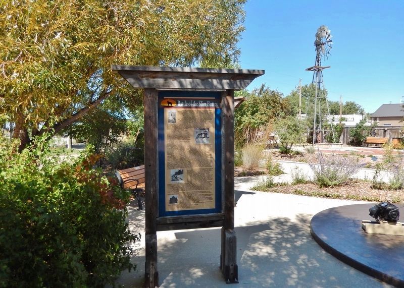
Location. 45° 34.855′ N, 103° 32.783′ W. Marker is in Buffalo, South Dakota, in Harding County. It can be reached from Theodore Roosevelt Expressway (CanAm Highway) (U.S. 85) just south of Connel Street (State Highway 20), on the left when traveling north. The marker is in Centennial Park. Touch for map. Marker is at or near this postal address: 91 US Highway 85, Buffalo SD 57720, United States of America. Touch for directions.

Regionally, this marker is in West River. It is also in the American Lewis & Clark Corridor, on the prairies, and on the Northern Plains. Globally, it is in North America, the Western Hemisphere, the Western World, and the Anglosphere. Historically, it finds itself in what was once Rupert’s Land and also the Louisiana Purchase.
Other nearby markers. At least 8 other markers are within walking distance of this marker: Battle of the Crow Buttes (here, next to this marker); The Custer Black Hills Expedition of 1874 (here, next to this marker); Ludlow Cave (here, next to this marker); Sky Ranch for Boys (here, next to this marker); Tex Fletcher, the "Singing Cowboy" (here, next to this marker); Medora - Deadwood Stage Line (here, next to this marker); The Homesteaders (here, next to this marker); Cattle Ranching in Harding County (here, next to this marker). Touch for a list and map of all markers in Buffalo.
Related markers. Click here for a list of markers that are related to this marker. Battle of the Slim Buttes
Also see . . . Battle of Slim Buttes (Wikipedia).
Excerpt: The Battle of Slim Buttes was fought on September 9–10, 1876, in the Great Sioux Reservation between the United States Army and Miniconjou Sioux during the Great Sioux War of 1876. It marked the first significant victory for the army since the stunning defeat of General George Custer at the Battle of Little Bighorn in June.(Submitted on June 24, 2026, by Cosmos Mariner of Cape Canaveral, Florida.)On September 10, Crook led his famished force away from the smoldering village, headed for the Black Hills and the promised food and supplies. The Sioux kept up a running fight with his troops for the next few days, before Crook finally made it to a supply column on September 15. The fighting at Slim Buttes cost the lives of two cavalrymen and one of Crook's civilian scouts, Charles "Buffalo Chips" White, as well as those of at least 10 Sioux.
The army continued to seek out the remaining Indian encampments. Further significant battles were fought on November 25 with Dull Knife and Wild Hog on the Red Fork of the Powder River (the so-called Dull Knife Fight), and on January 8 with Crazy Horse at Wolf Mountain. Other assaults during the fall and winter convinced most of the Sioux and Cheyenne of the futility of fighting the soldiers. In May 1877, Crazy Horse surrendered at Fort Robinson and Sitting Bull led his remaining followers into Canada.
The Slim Buttes battle site is on private land. A nearby monument commemorates the fighting.
Credits. This page was last revised on June 26, 2026. It was originally submitted on June 22, 2026, by Cosmos Mariner of Cape Canaveral, Florida. This page has been viewed 54 times since then. Photos: 1, 2. submitted on June 23, 2026, by Cosmos Mariner of Cape Canaveral, Florida.
