3 entries match your criteria.
Related Historical Markers
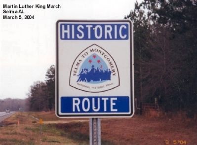
By Don Morfe, January 17, 2007
Selma to Monrgomery Trail Marker
SHOWN IN SOURCE-SPECIFIED ORDER
| On U.S. 80 at milepost 92 at County Road 67 on U.S. 80. |
| | Hall Farm
March 21, 1965 — — Map (db m61846) HM |
| On U.S. 80 1.1 miles east of White Hall Road, on the right when traveling west. |
| | Rosie Steele Farm
March 22, 1965 — — Map (db m70954) HM |
| On West Fairview Avenue west of Oak Street, on the right when traveling west. |
| |
City of St. Jude
March 24, 1965 — — Map (db m117069) HM |
Nov. 10, 2026
